Hiking
  Sailing
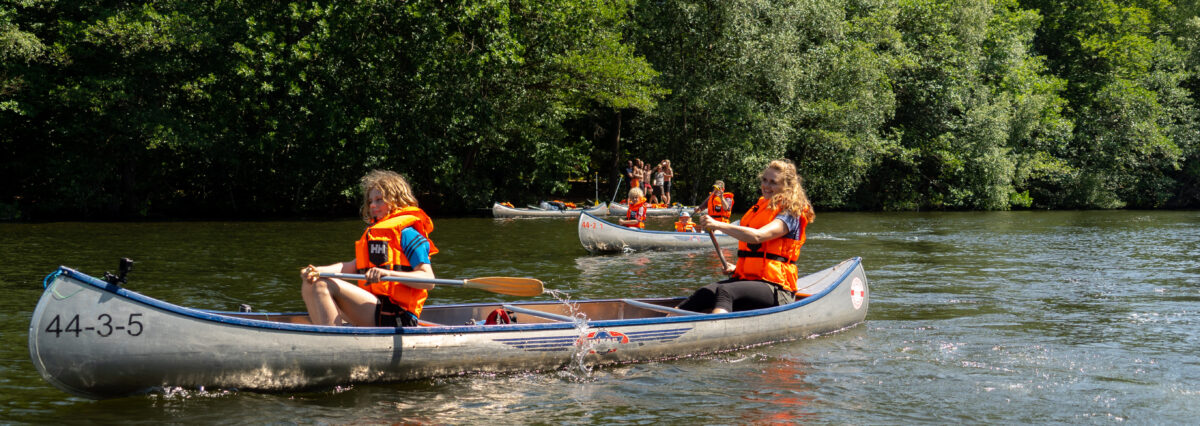
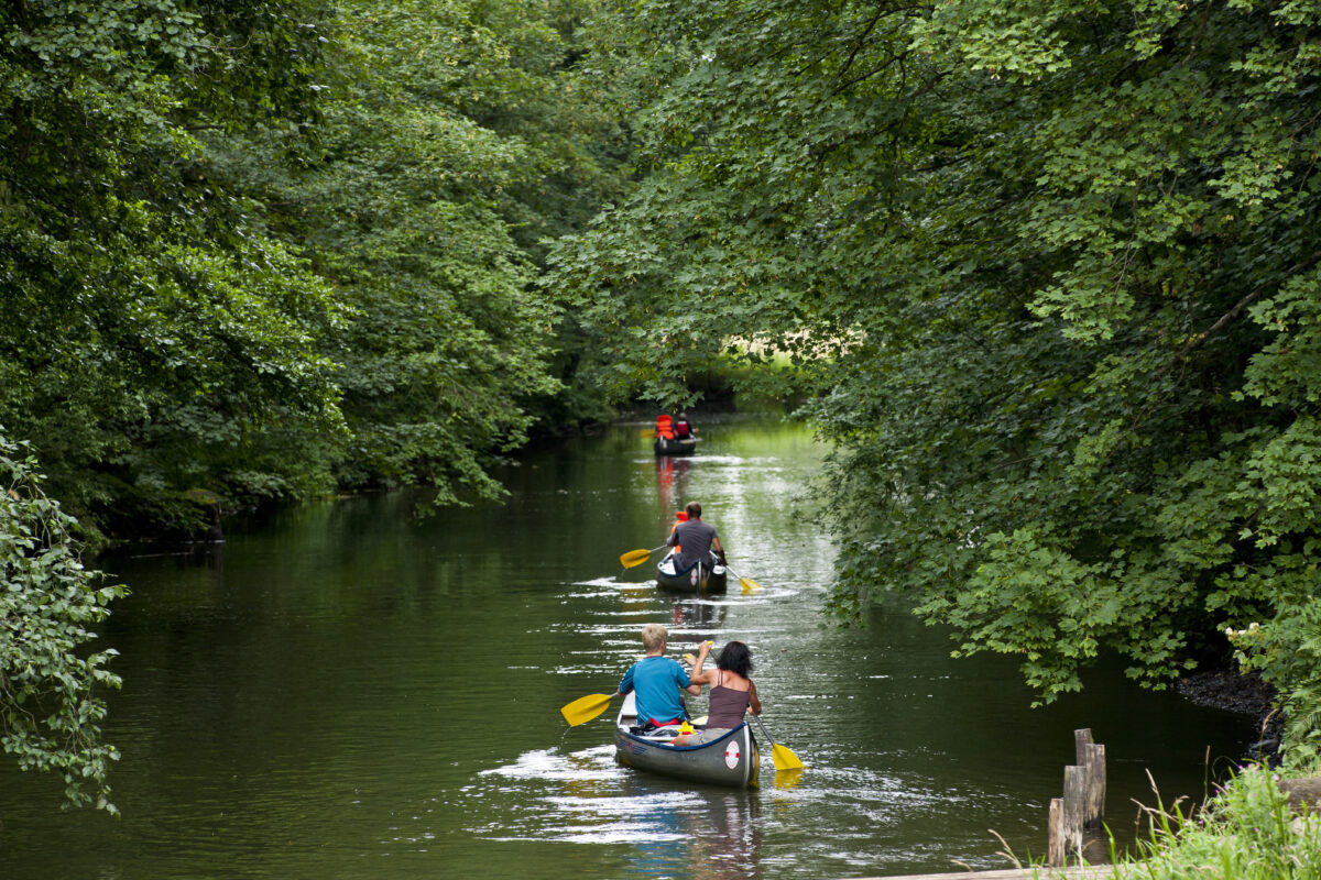
  Fishing
  Cycling
  Visit attractions
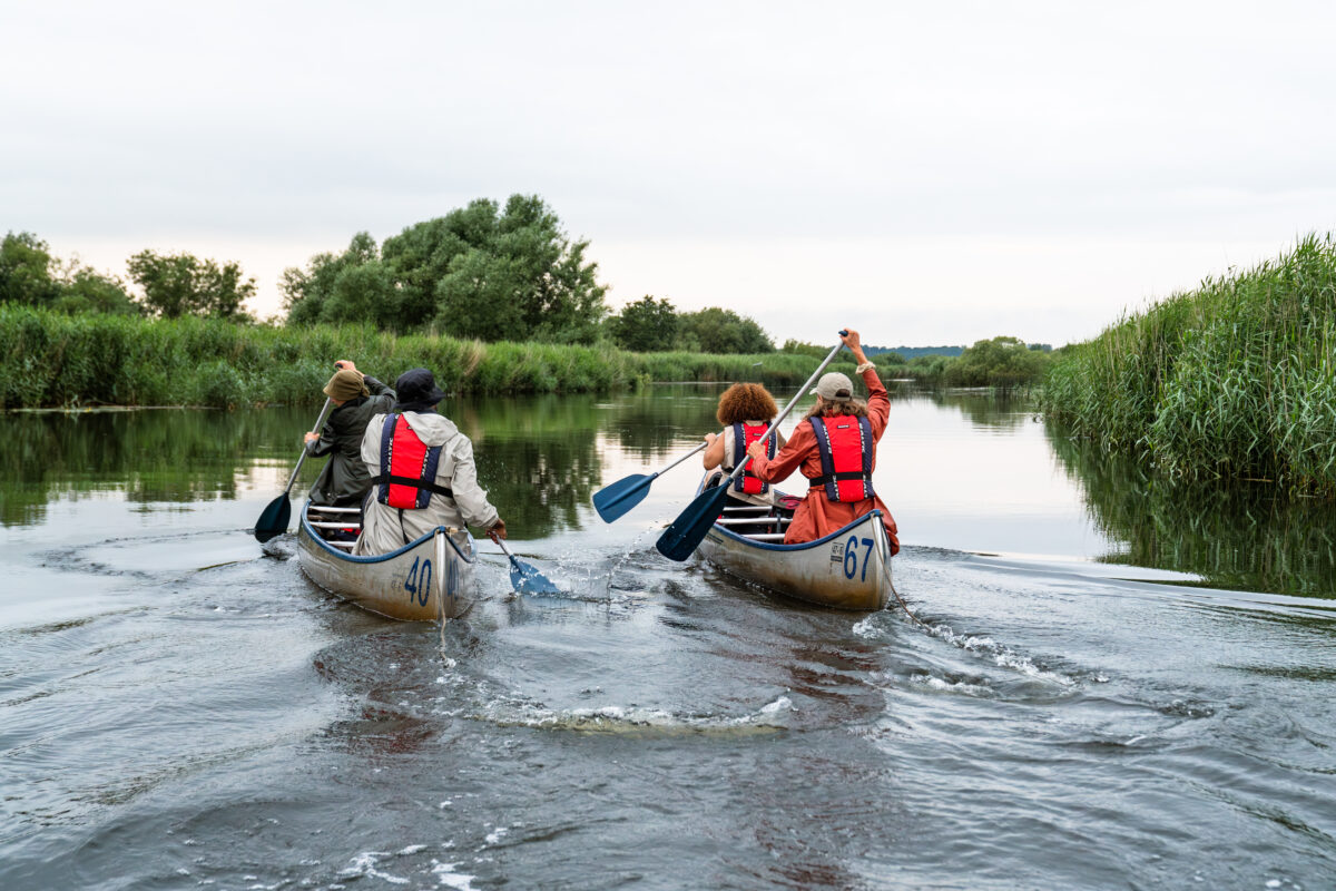
From Silkeborg to Randers
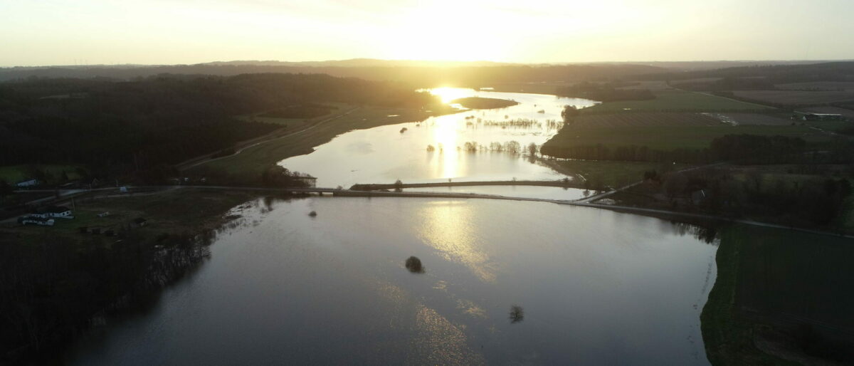
Via Silkeborg Langsø, Resenbro and Sminge Sø to Kongensbro, where you sail under the Aarhus-Viborg highway. On the right side you pass Tvilum Church, while Trækstien follows all the way on the left bank - several places as raised wooden bridges. Shortly after Kongensbro, you enter Tange Lake, which can be difficult to pass due to windy conditions. Choose the left/west side when the wind is southwest, as it usually is. Bear with us at Gudenåcentralen. After Lake Tangå, you're likely to encounter both powerboaters and oncoming traffic. Show consideration for each other and leave the channel in the middle to the powerboaters. The train tracks and the towpath run parallel to the river Gudenåen for most of the stretch between Bjerringbro and Randers. You pass Ulstrup Castle, the old railway bridge from 1862 and Denmark's oldest concrete bridge, Amtmands Hoppes Bro, in Langå. Before you reach Randers, you'll sail along beautiful and bird-rich meadows. The stretch is also rich in fish - not least salmon - so you're bound to meet several anglers on the banks.
Distances
A day trip by canoe is typically 15-20 km
- Silkeborg – Resen Bridge 6 km
- Resen Bridge – Tvilum Bridge 8 km
- Tvilum Bridge – Kongensbro 7 km
- Kongensbro – Ans Bridge 8 km
- Ans Bridge – Bjerring Bridge 9 km
- Bjerring Bridge – Ulstrup Bridge 10 km
- Ulstrup Bridge – Amtmand Hoppes Bridge 9 km
- Amtmand Hoppes Bro – Nørreåens outlet 9 km
- Nørreåens outlet – Randersbro 5 km
See the Bjerringbro - Randers route on the Gudenå map
On the Gudenå map you can also see where to stay and eat, where you can go ashore, and what there is to experience along the way.
To the Gudenå map