


 Hiking
  Sailing
  Fishing
  Cycling
  Visit attractions
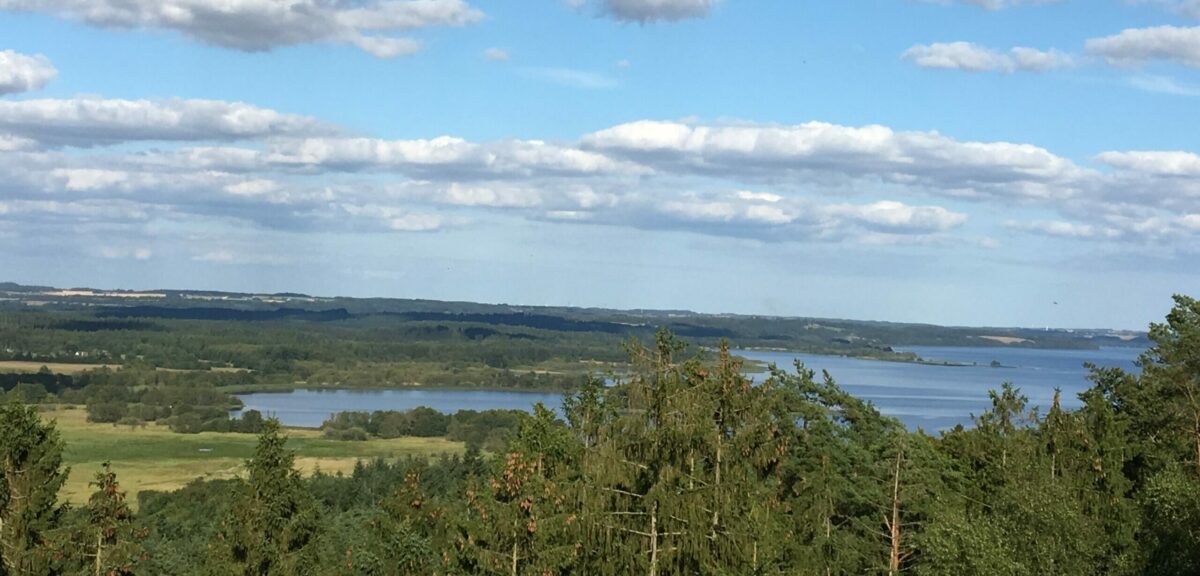
Foto: Bendt Nielsen
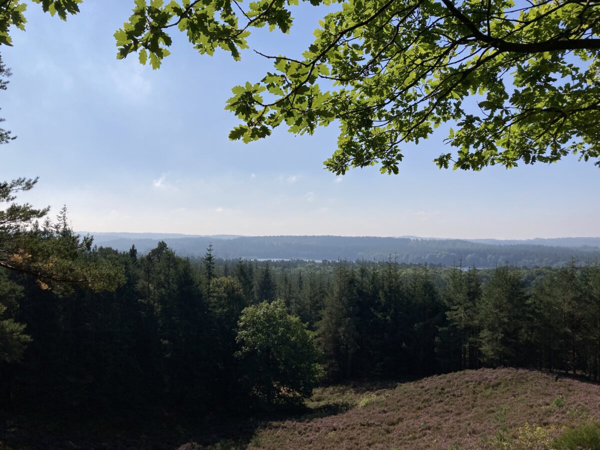
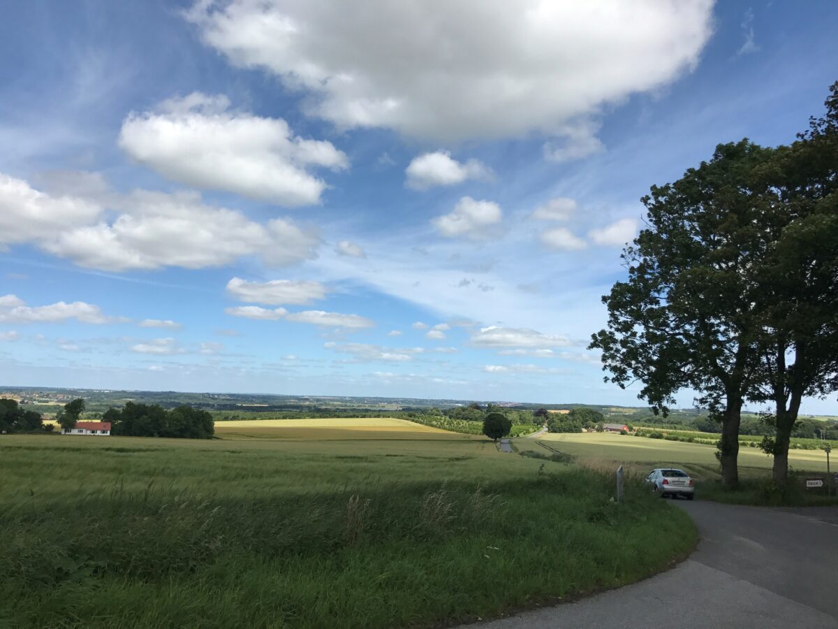
The most popular viewpoints
Sukkertoppen
In forested terrain lies one of Denmark’s largest hills, Sukkertoppen, with a formidable view over the beautiful nature of the Lake Highlands. With its 108 meters, Sukkertoppen is not one of the tallest, but the view is hard to match.
Find Sukkertoppen on the Gudenå map
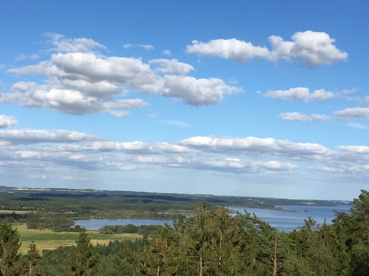
Foto: Bendt Nielsen
The most popular viewpoints
Himmelbjerget
Himmelbjerget is 125 meters above Julsø and 147 meters above sea level, and the average incline is 6.4%. However, the view over the lakes and forests of the Lake Highlands is worth the entire trip. If you come from the parking lot, the top—and the view—are easy to reach as they are almost at the same height.
Find Himmelbjerget on the Gudenå map
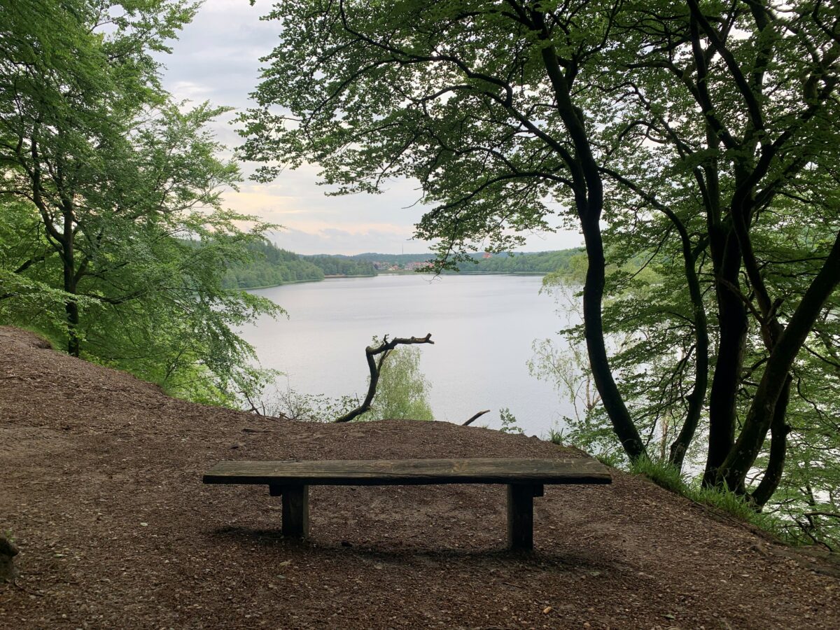
The most popular viewpoints
Bryggebjerg
Bryggebjerg is located on the north side of Juelsø, 80 meters above sea level. From here, as well as from the approximately 20 meters lower area called Udsigten, the view over the Gudenå River, the lakes, and the forests is absolutely fantastic. Public access to Bryggebjerg and Udsigten is secured by preservation. From these two places, you can enjoy the view over Julsø to Himmelbjerget.
Find Bryggebjerg on the Gudenå map
The most popular viewpoints
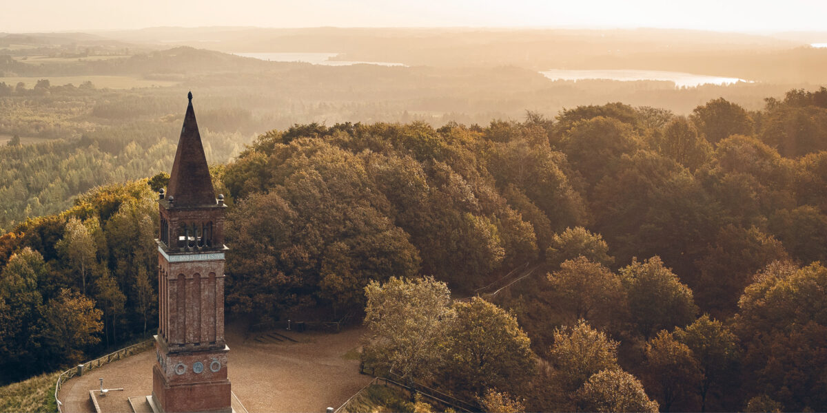
Kongestolen
The viewpoint Kongestolen is easy to find - a wooden staircase from Slåensø leads up to Kongestolsvej and Kongestolen.Only 100 meters further southeast along Kongestolsvej, you will find Denmark’s tallest tree, which is one and a half times taller than the Round Tower. The Douglas fir was planted in 1895 and was last measured in 2018, when it was 53.7 meters tall.
Find Kongestolen on the Gudenå map
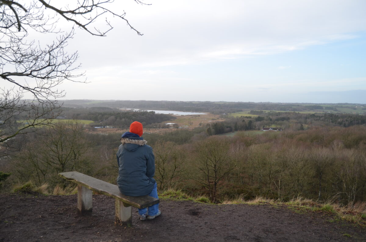
The most popular viewpoints
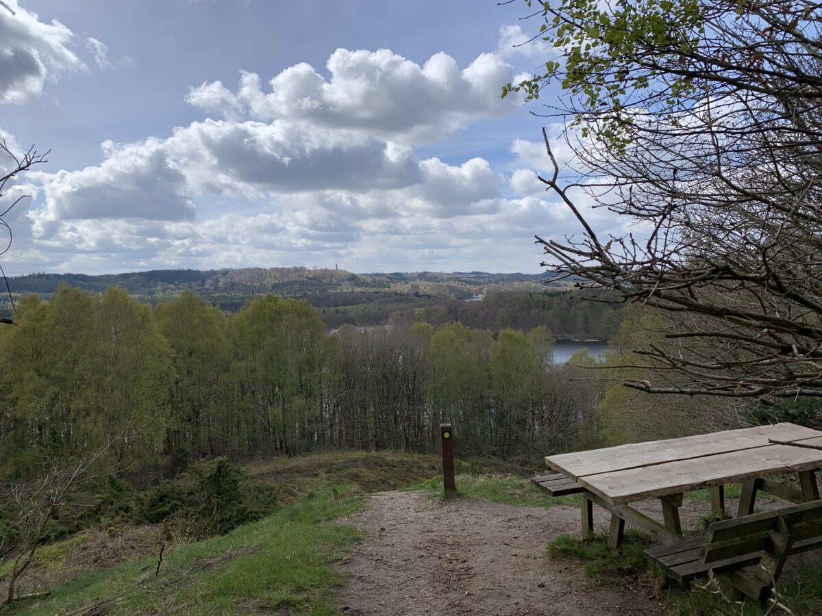
Viewpoint at Kroghs Bænk
From Kroghs Bænk, you have a beautiful view over Almind Sø and towards Silkeborg. And there is actually still a bench, even though chamberlain Frederik Ferdinand von Krogh died in 1844.
Find Kroghs Bænk on the Gudenå map
The most popular viewpoints
Store Troldhøj
From Store Troldhøj north of Silkeborg, there is a picturesque view over Gjern Bakker and Gjern River, which winds through the well-defined river valley. The deciduous forest in the area around Store Troldhøj is a very beautiful and biologically valuable oak thicket.
Find Store Troldhøj on the Gudenå map
The most popular viewpoints
Busbjerg
From Busbjerg west of Ulstrup, there is a beautiful view over the Gudenå Valley. There are opportunities for walks in the area.
Find Busbjerg on the Gudenå map
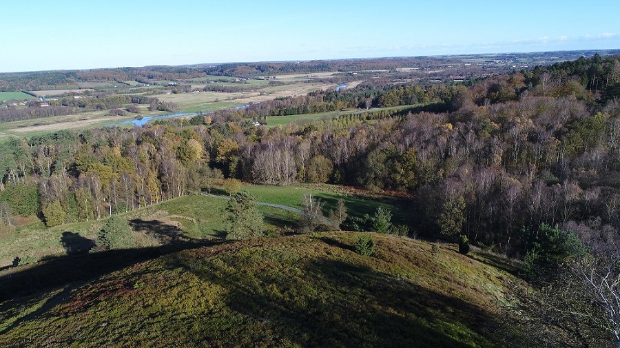
Foto: Favrskov Kommune
The most popular viewpoints
The view at Ørum church
From Ørum Church, there is a beautiful view over the Gudenå Valley and the meadows south of Randers.
Find Ørum Church on the Gudenå map
The most popular nature gems at Gudenåen
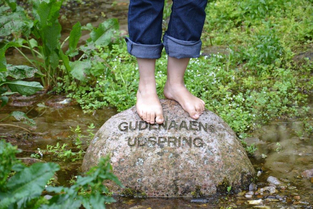
The source of Gudenåen
In Tinnet Krat, a spring bubbles up from the ground, marking the beginning of the Gudenå, which flows eastward. Not far from there, another spring flows westward – this is the start of the Skjernå. Between these two nascent streams runs the ancient Hærvej.
The great watershed is a fantastic and unique natural experience with beautiful scenery along the Jutland ridge. The area is an excellent starting point for hiking, with several marked trails in the vicinity. The source of the Gudenå is part of Denmark's nature canon.
Find the source of Gudenåen on the Gudenå map
Uldum Kær
Uldum Kær is a 1200-hectare large, continuous marsh area between Tørring and Uldum, traversed by the Gudenå River. The vast meadow areas give rise to a particularly worthy plant and animal life for preservation.
With respect for nature, Uldum Kær has been made accessible to visitors. Thus, there are marked trail connections and wooden bridges through especially wet parts of the marsh.
Find Uldum Kær on the Gudenå map
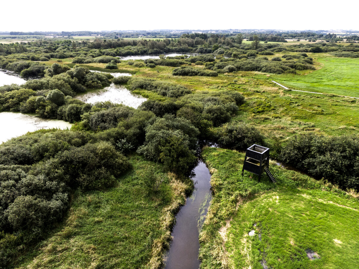
Foto: Hedensted Kommune, Uldum Kær
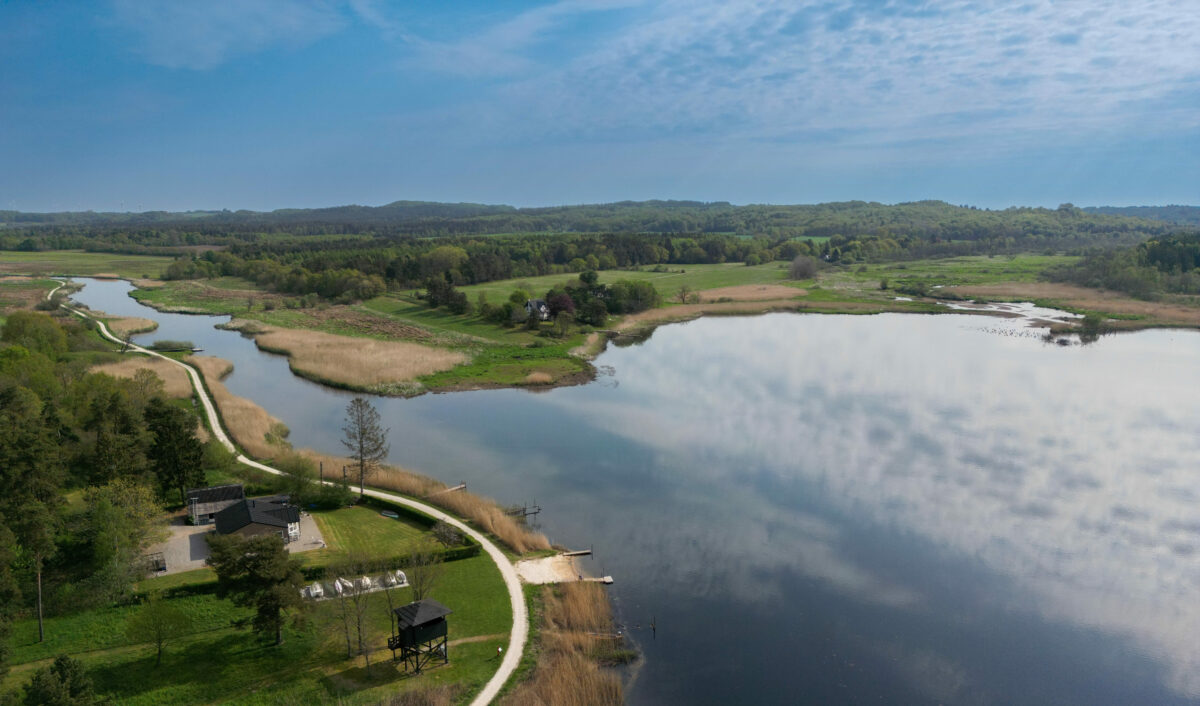
Klostermølle
This lovely attraction combines beautiful nature with fascinating cultural history. The old Benedictine monastery and paper mill are now a popular excursion destination. Here, there are old protected buildings, a small exhibition, and a bird tower with a view over Jutland's largest lake, Mossø. From Klostermølle, it is not far to the viewpoint Sukkertoppen.
Find Klostermølle on the Gudenå map
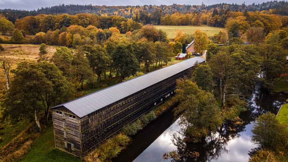
Foto: Aleksander Mogensen
Sminge Lake
Sminge Lake is traversed by the Gudenå River and receives inflow from the Gjern River. Sminge Lake is located northeast of Silkeborg, and you can best reach the lake by hiking along the towpath along the Gudenå from Resenbro towards Svostrup or from the waterside. However, note that boating is prohibited in parts of the lake. Find more information at sejladspaagudenaaen.dk.
Sminge Lake is surrounded by marshes and swampy reed beds, making it a very rich bird habitat, both as a breeding ground and a resting place for Nordic waterfowl.
Find Sminge Sø on the Gudenå map
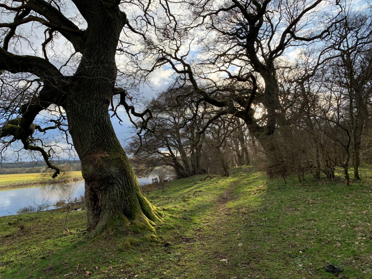
Langå Egeskov
In Langå Egeskov, you can find a unique forest landscape of gnarled, cattle-grazed oak woodland reminiscent of the golden age paintings. In the days of common land, before the year 1800, the farmers' animals from Langå would graze in a shared pasture during the summer. Langå Egeskov is one such old, wooded "outfield."
For nearly 200 years, grazing cattle have eaten almost all the newly sprouted tree growth, allowing the old, gnarled oaks to be seen in their picturesque beauty. The forest is teeming with cavity-nesting birds that find breeding opportunities in the old and dead trees. The insect and fungal life is unparalleled, as the dead trees provide excellent growth conditions. There is a rich plant and animal life.
In many places in the forest, there are dying trees that are gradually decomposing and becoming part of the natural cycle.
Find Langå Egeskov on the Gudenå map
Gudenå meadows
The restoration of the 328 hectares of meadows and wetlands on both sides of the Gudenå River between Langå and Randers is undertaken by the Aage V. Jensen Nature Foundation. This includes Hornbæk Enge, Væth Enge, and Vorup Enge, collectively known as the Gudenå Meadows.
During the period from 2003 to 2008, Water Environment Plan projects were initiated to minimize the nutrient input to the Gudenå River itself. As a result of this work, valuable aquatic areas and wet meadows have been restored, providing improved habitats for birdlife, small animals, and flora, allowing them to thrive freely.
The proximity to the city of Randers gives these areas great recreational value. Walking paths lead through the area, where raised wooden platforms and bird towers ensure views near the Gudenå. Grazing management helps maintain the open character of the meadows.
Find the Gudenå meadows on the Gudenå map
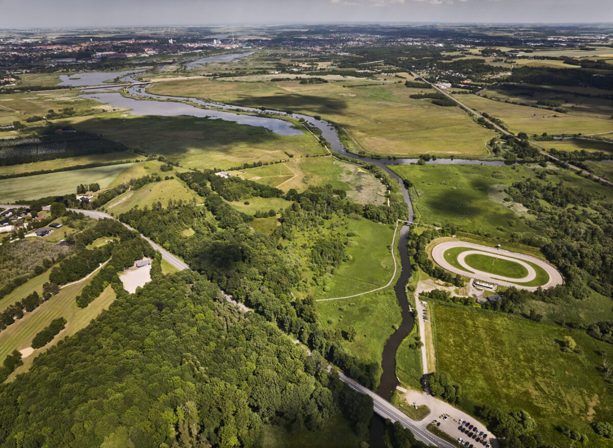
Foto: Jakob Lerche
Natural pearls
find all nature gems by Gudenåen here