From Tørring to Klostermølle approx. 40 km
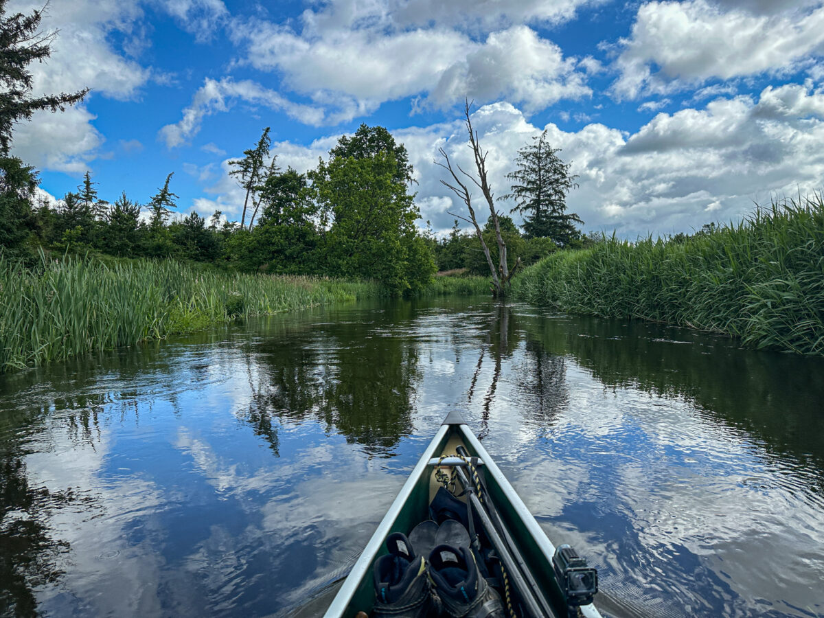
The southern stretch is a typical river course - narrow, winding and without large lakes - and there are no motorboats or oncoming traffic.
After Bredstenbro, the river widens and the water deepens. Bredvad Bro is followed by an area with several dammed lakes created in connection with Vestbirk Hydropower Plant. At Vestbirk Power Station, the canoe must be hauled over land. Part of the stretch up towards Klostermølle runs through forest and is almost jungle-like. Where Klostermølle is today, Voer Kloster used to be located. 800 years ago, the monks of the monastery excavated the canal you sail through today. Be aware that there are spawning banks in some places - sail around them.
The southern stretch
Find the route on the Gudenå map. Here you can also find accommodation, campsites, shopping, experiences and much more.
A typical canoe day trip is 15-20 km:
- Tørring-Aale Bridge 10 km
- Aale Bro-Aastedbro 4 km
- Aastedbro-Bredsten Bridge 7 km
- Bredsten Bridge-Westbirk Hydropower Plant 7 km
- Vestbirk Hydroelectric Power Plant-Voervadsbro 6 km
- Voervadsbro-Klostermølle 6 km
Link to the Gudenå map
Special rules on this route
On Naldal Sø and Vestbirk Sø you can use all types of canoes, kayaks and rowing boats without motors. Here you can also sail against the current and outside the hours of 8-18.
All vessels must be registered.
On the southern part of the Gudenåen, you must buy a guest sticker if you bring your own canoe, kayak or sup and do not have a resident registration for the vessel. You can buy it here. If you rent a canoe or kayak from an approved canoe rental company, the license comes with the vessel you rent. Familiarize yourself with the rules before you go


