Hiking
  Sailing
  Fishing
  Cycling
  Visit attractions
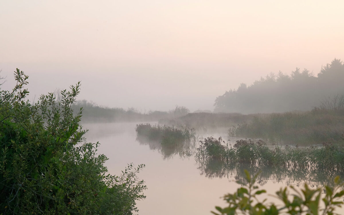
Experiences in Gudar's Land
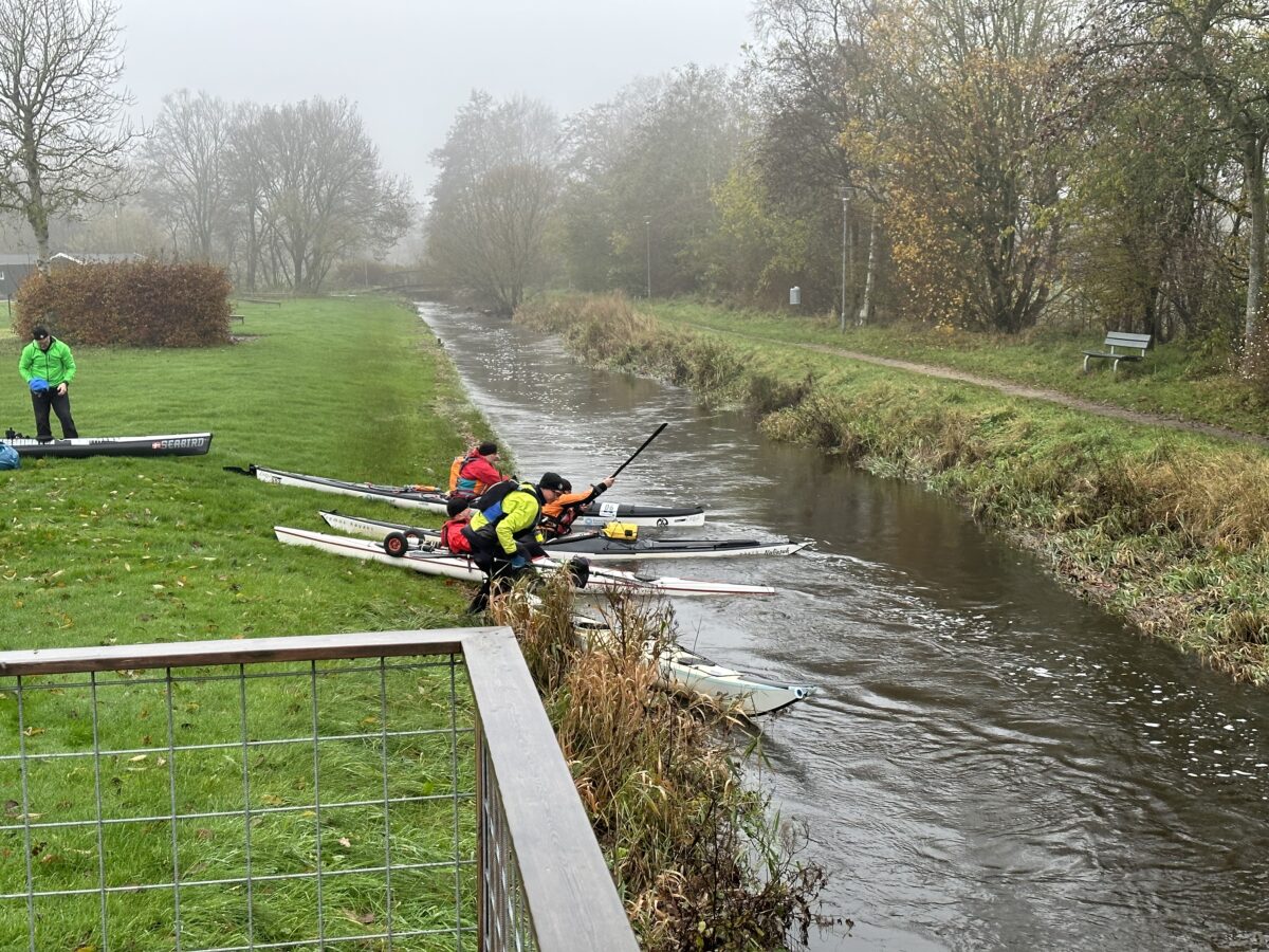
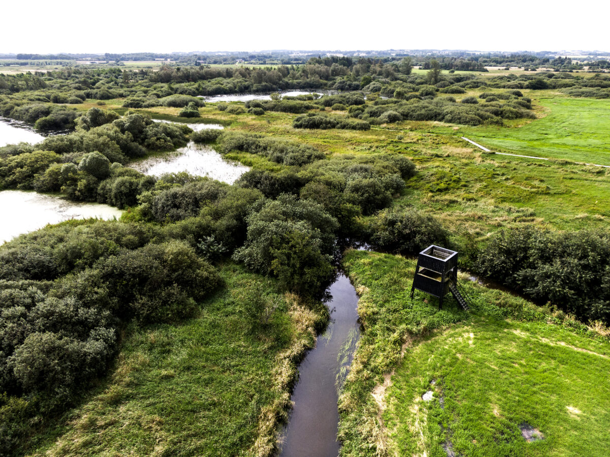
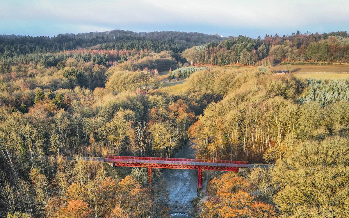
On this stretch, man is small in the grand scheme of things. Here, the Gudenå River flows from its source through the land of Gudar. In this otherworldly landscape, nature’s beauty surpasses itself.Here nature seems untouched and enchanted at the spring and along the narrow stream – and the jungle-like river banks, clusters of water primroses, tree crowns above the water and the marsh cone brewing.Legend has it that the demigod Gudar robbed the beautiful Else and thereby created the meanders and name of Gudenåen.For thousands of years, humans have lived in harmony with nature along this stretch. The landscape here invites silence, peace and contemplation.The Great Watershed, the country’s largest oak scrub, Tinnet Krat, babbling springs, Denmark’s largest fen area, Uldum Kær, with plant and animal life worthy of special preservation, unique views from Sukkertoppen and not least The Rediscovered Bridge.
Gudenåen NORTH, MIDDLE, SOUTH
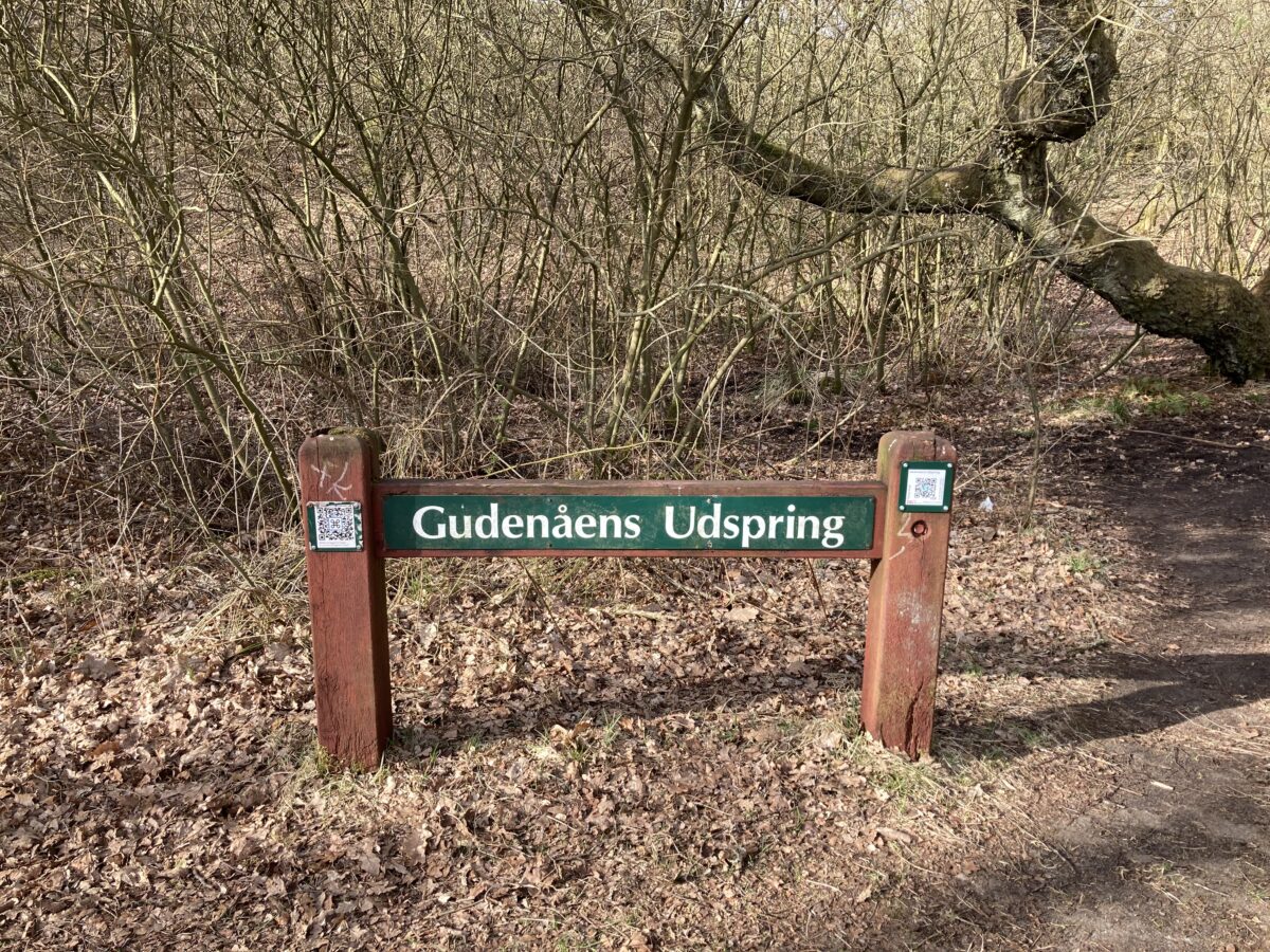
The source of Gudenåen
Tørring
Uldum Kær
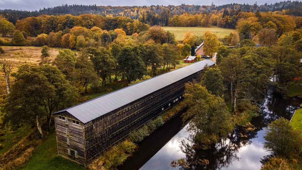
The Rediscovered Bridge
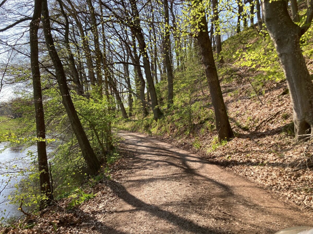
The Gudenå Trail between Voervadsbro and Klostermølle
Sukkertoppen and Klostermølle