Hiking
  Sailing
  Fishing
  Cycling
  Visit attractions
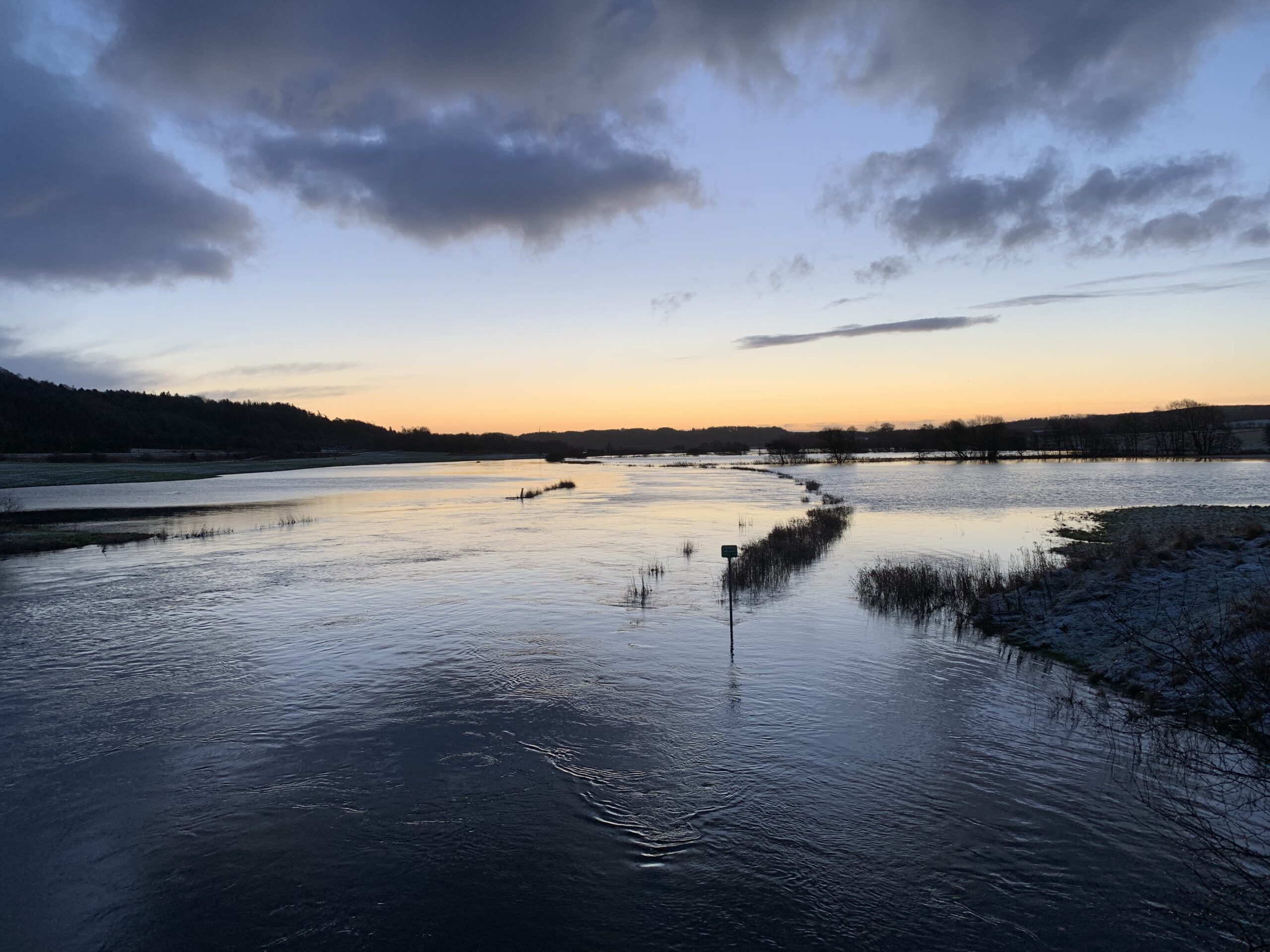
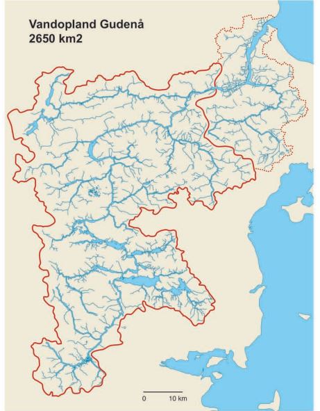
Gudenåen water catchment area
Gudenåen is Denmark’s longest river and drains an area the size of Funen or about 10% of Jutland. The Gudenåen drainage system, or catchment area, is like a giant, elongated water basin. The water from precipitation collects in grooves like streams and in depressions like lakes before flowing out at the lowest end to the north. Finally, out in Randers Fjord, the Gudenå River mixes with the Kattegat seawater – in a large delta area where the salt content constantly changes depending on weather and wind.
From the 1870s to 2010, precipitation in Denmark has increased more than 100 mm per year on average. This has given more water to the rivers, including Gudenåen. And precipitation will increase even more over Denmark in the future.
The extra precipitation will mainly come in winter. In summer, the weather is expected to become drier. On the other hand, there will be heavier rainfall in the summer when the skies finally open up.
Sudden downpours mean that streams need to receive a lot of water in a short period of time. Much of the water does not penetrate the ground during cloudbursts, but washes directly into the watercourses without any delay in runoff.
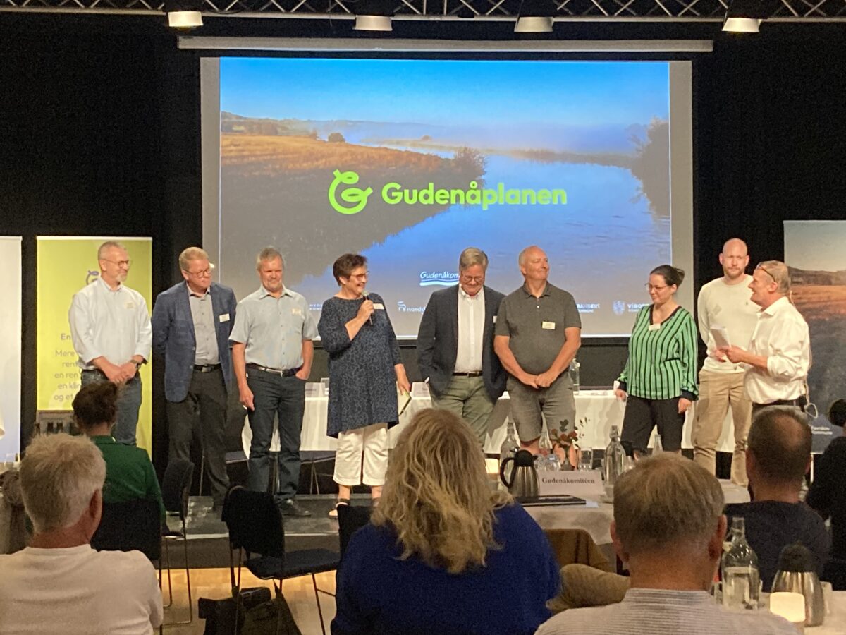
Gudenå municipalities collaborate to make Gudenåen more climate-resilient
In 2020, the mayors of the seven Gudenå municipalities decided that a master plan for water management in Gudenåen should be developed. It can be read in full here: Master plan for Gudenåen (silkeborg.dk)
On the recommendation of the Gudenå Committee, the Gudenå municipalities have a common vision for water management in the Gudenå and its catchment area. In concrete terms, the vision means that each municipality’s water management must be based on a common understanding of the Gudenås system as a whole.
The measures taken by the municipalities must not negatively affect other Gudenå municipalities. It must take into account nature, culture and people, and seek common perspectives between different interests.
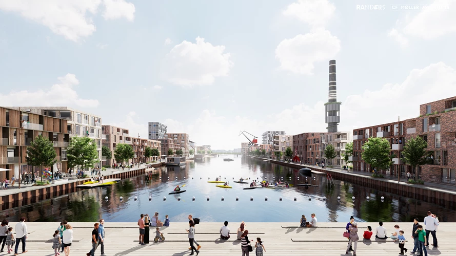
Flodbyen Randers
Randers is one of the cities along the Gudenå River that is threatened by future water rises and increased amounts of rainwater. Therefore, efforts are being made to protect the River City of Randers from flooding and to create management options for when the water in the fjord rises and when large amounts of rain fall. The City to the Water development plan will create a new, unique district that is adapted to the climate. The climate belt, which meanders through the River City neighborhoods and provides new urban and natural spaces, will also allow for "controlled flooding" when the city is hit by storm surges and cloudbursts.
Read more about Flodbyen Randers