Sailing
  Fishing
  Cycling
  Visit attractions
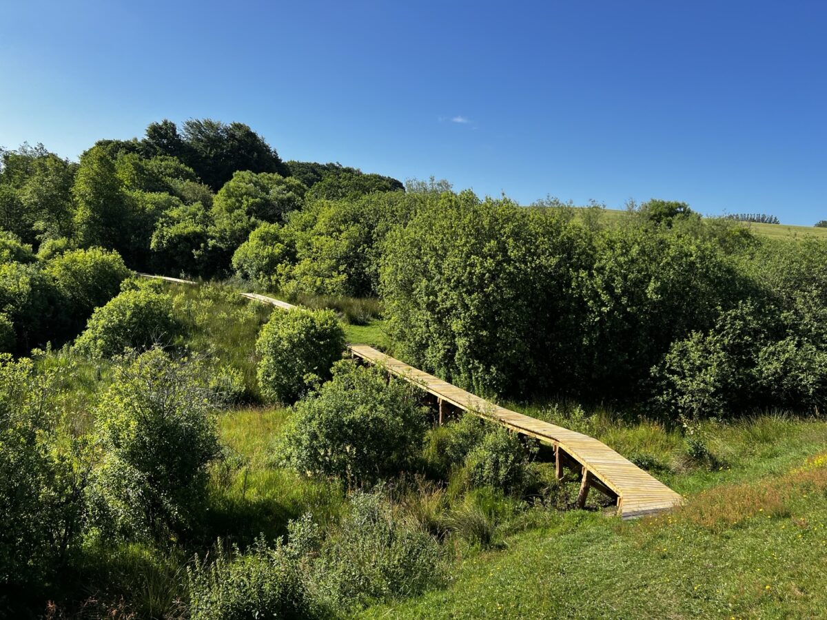

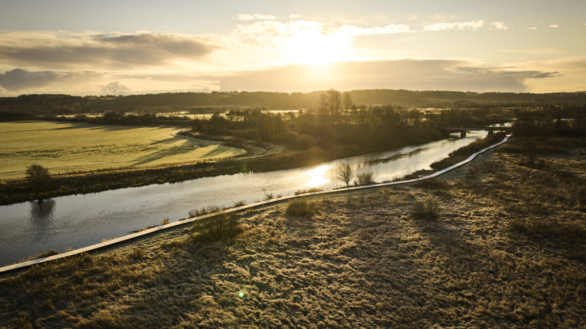
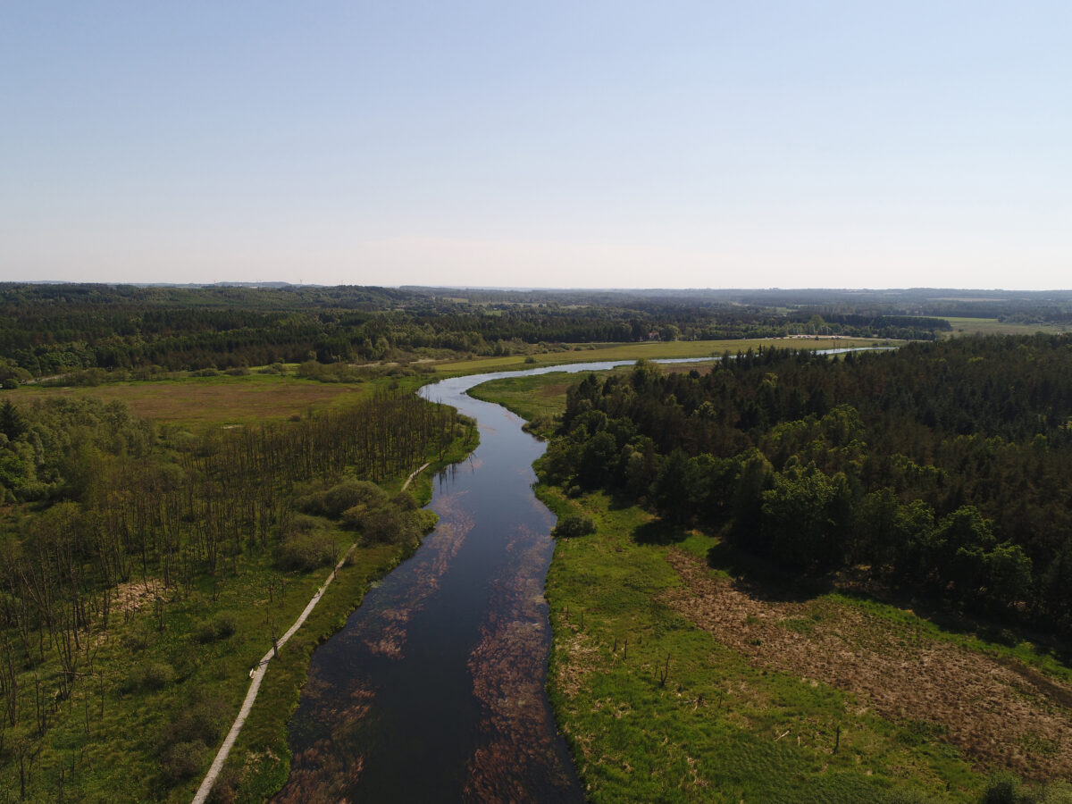
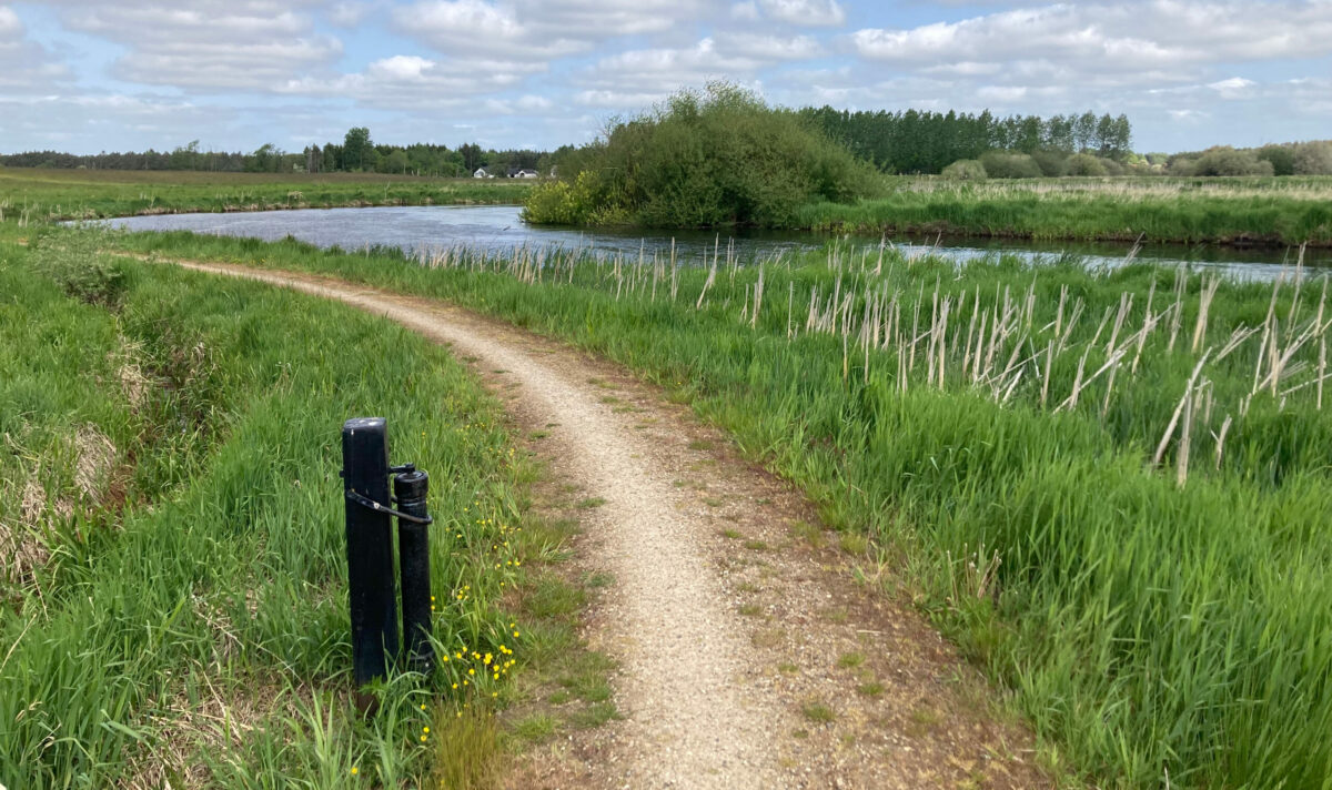
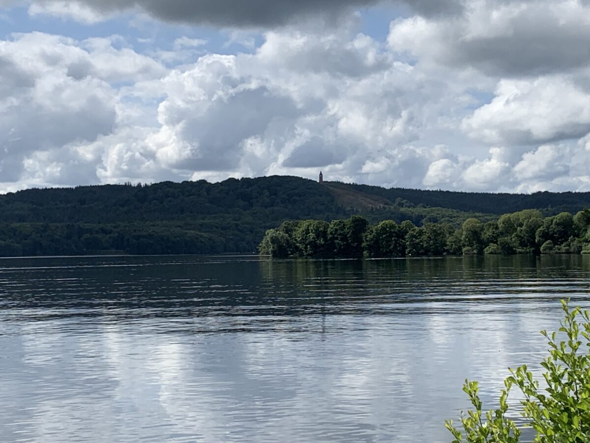
Hiking by Gudenåen
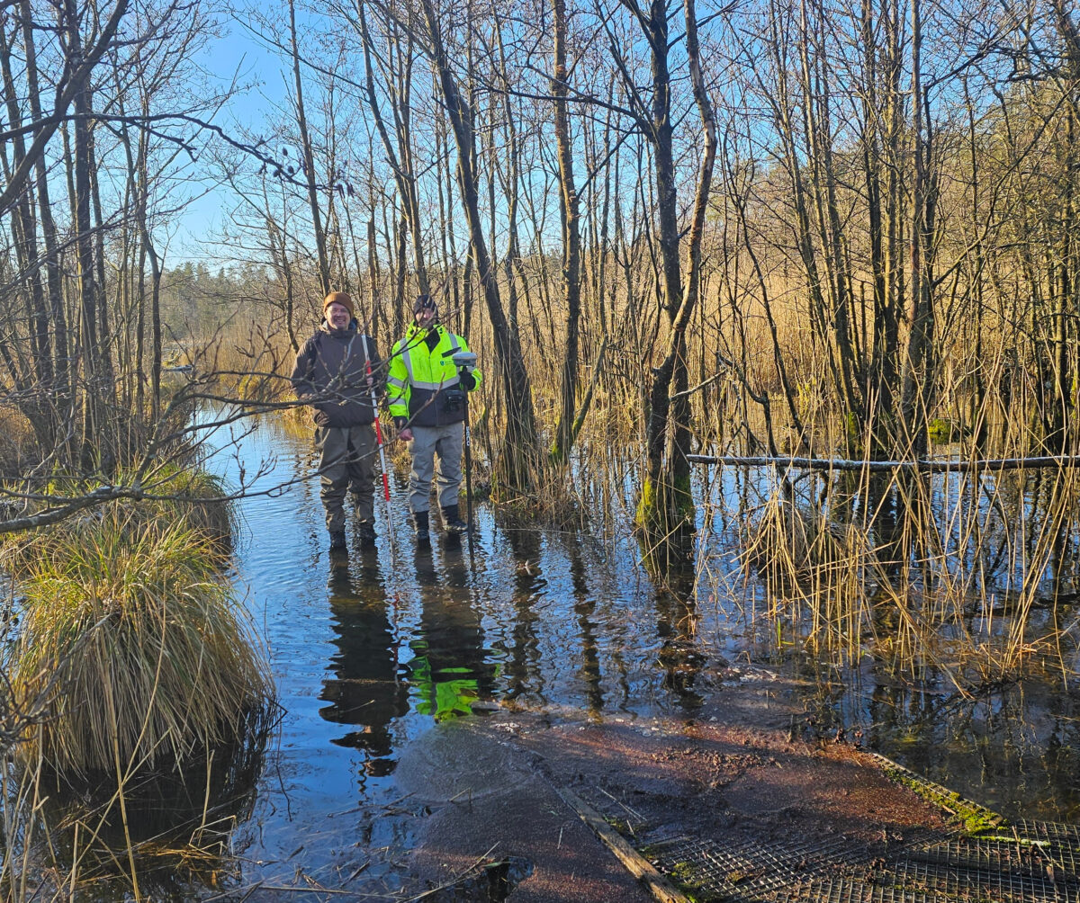
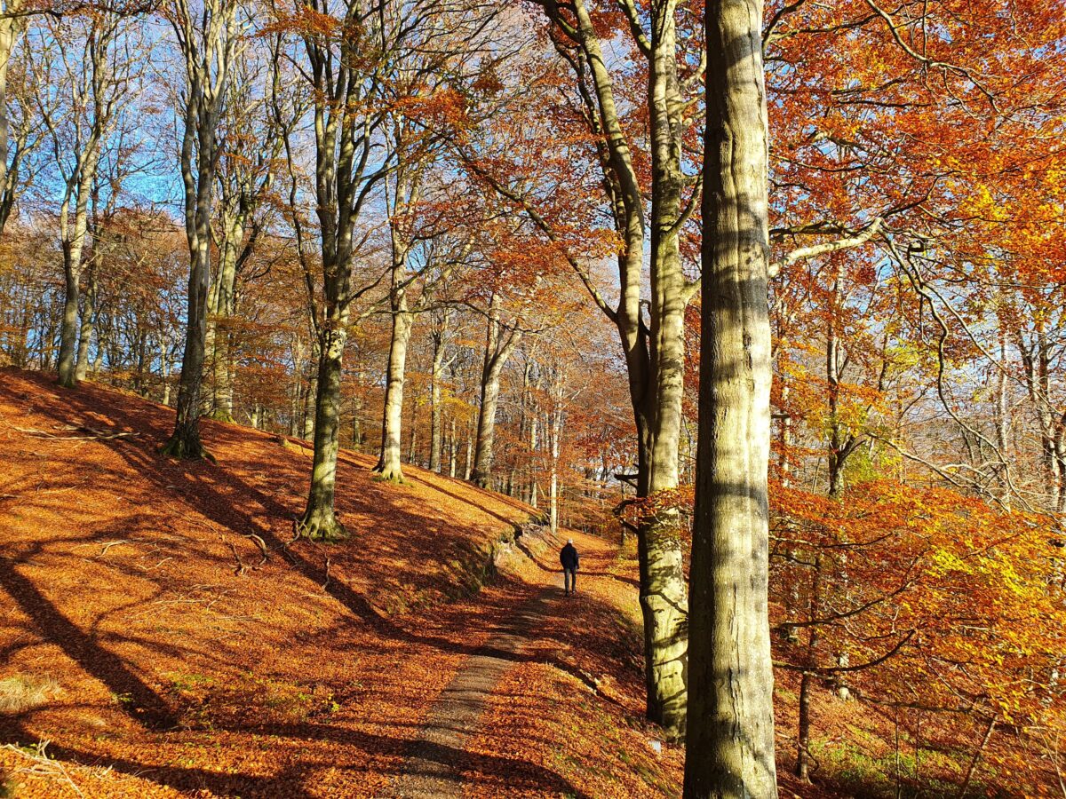
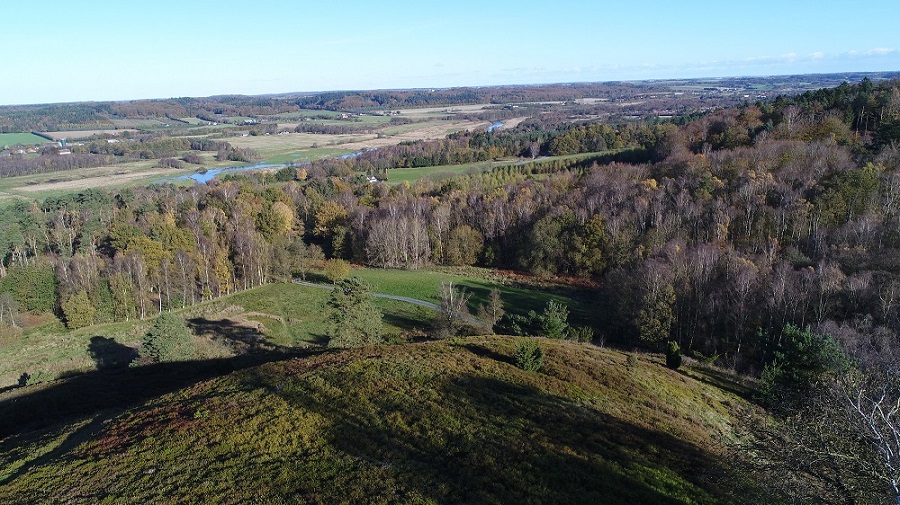
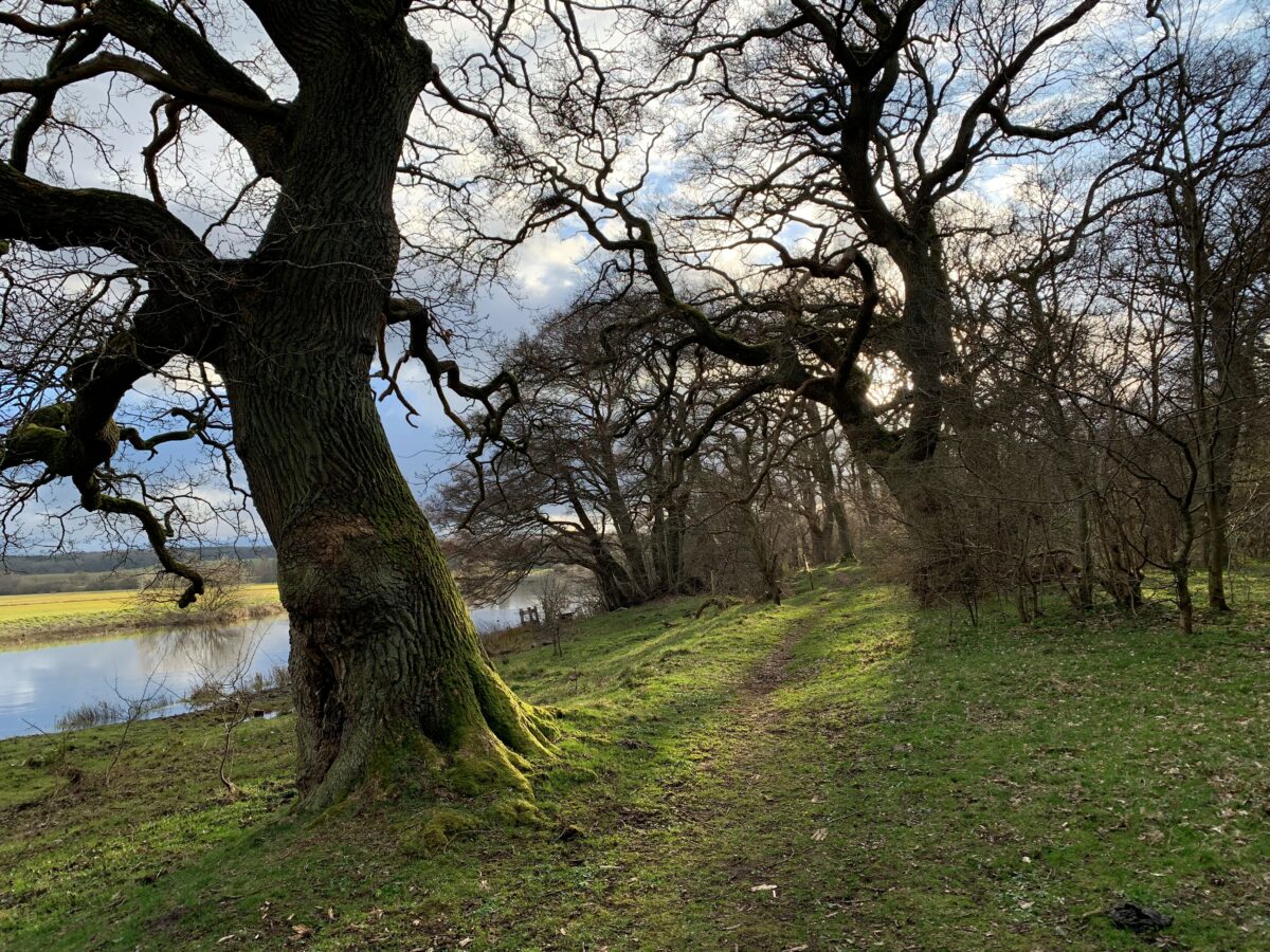
The proximity to Denmark's longest watercourse makes it a special experience to hike along the Gudenåen. For example, in Søhøjlandet you will often walk in the heights and can look out over the magnificent lake landscape. In the wide river valley between Randers and Silkeborg, however, you are very close to the water and its eternal movements. Here the path will often be flooded. Read more about the options for both long and short trips on this page.
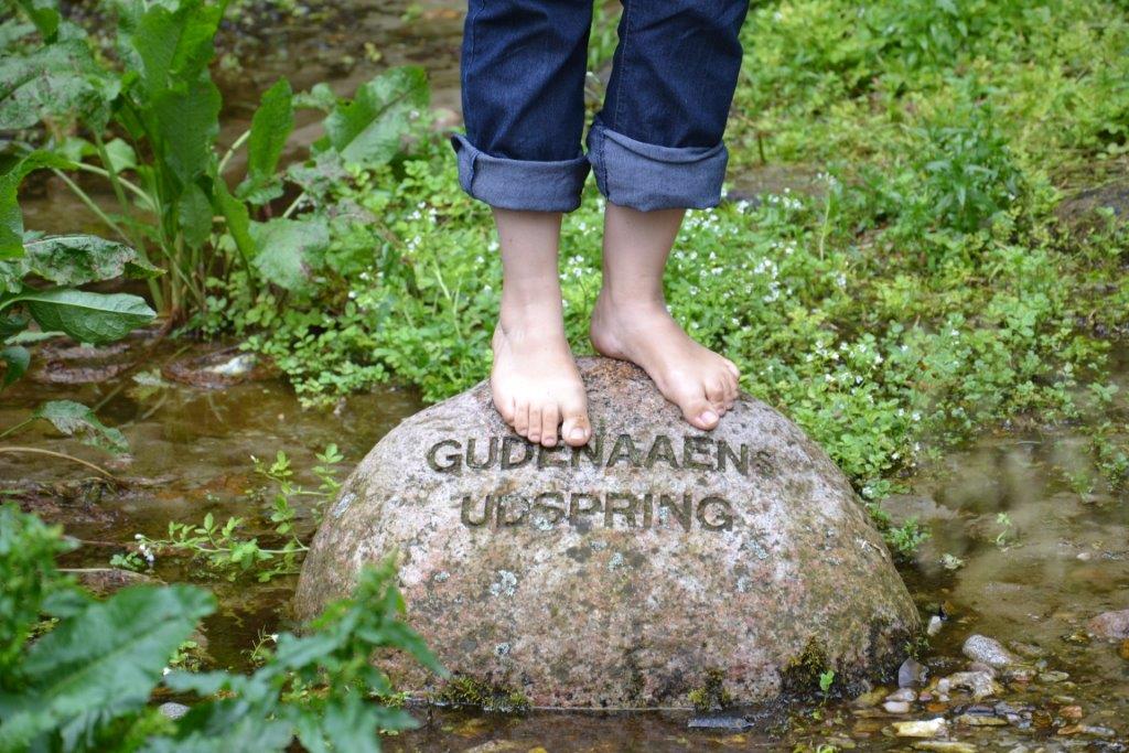
The springs of Gudenåen
Uldum Kær
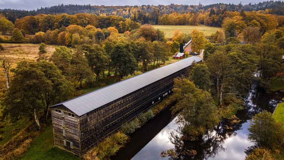
Klostermølle
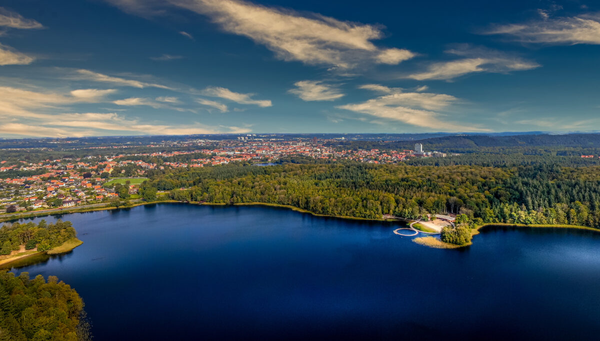
Himmelbjerg area

Silkeborg
At Tange Lake
Busbjerg
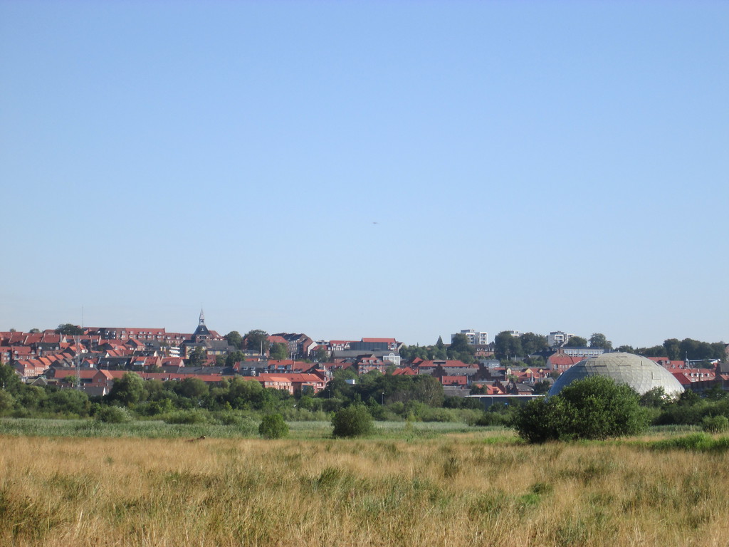
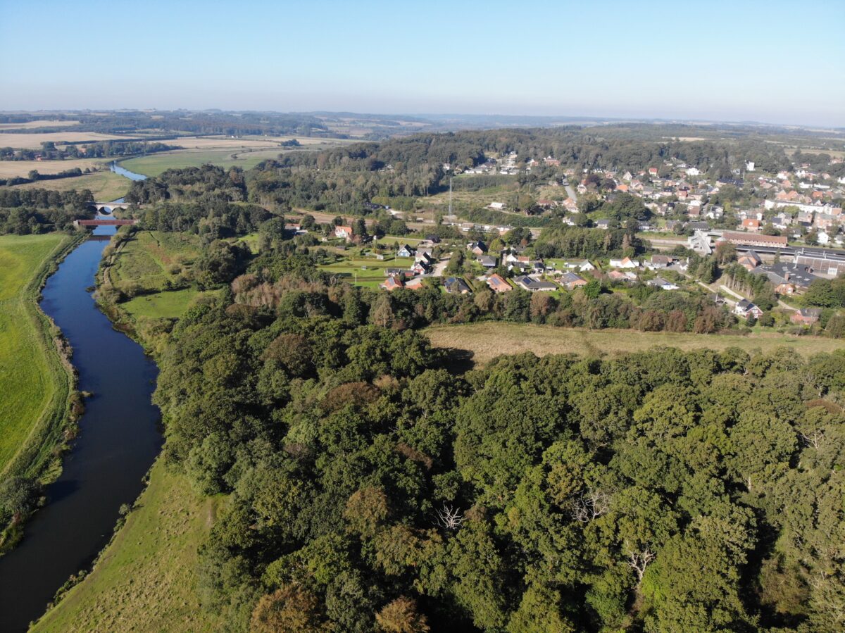
Langå Egeskov
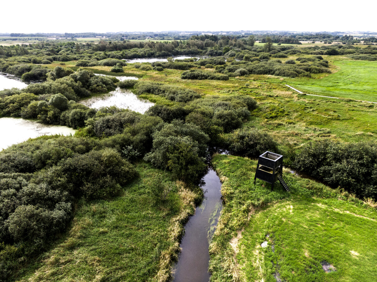
Gudenå meadows
With donations from the A.P. Møller Foundation and the Nordea Foundation, it has been possible to realize the dream of a path that follows the Gudenå River all the way from its source northwest of Tørring to its outlet in Randers Fjord. The path is scheduled to be completed in 2026. The two major routes Himmelbjergruten and Trækstien become part of the Gudenå Trail. The project is a collaboration between the 8 Gudenå municipalities Vejle, Hedensted, Horsens, Skanderborg, Silkeborg, Viborg, Favrskov and Randers and the three Nature Agency units Trekantsområdet, Søjhøjlandet and Kronjylland.
Read more about project Gudenåstien - from source to fjord