Hiking
  Sailing
  Fishing
  Cycling
  Visit attractions
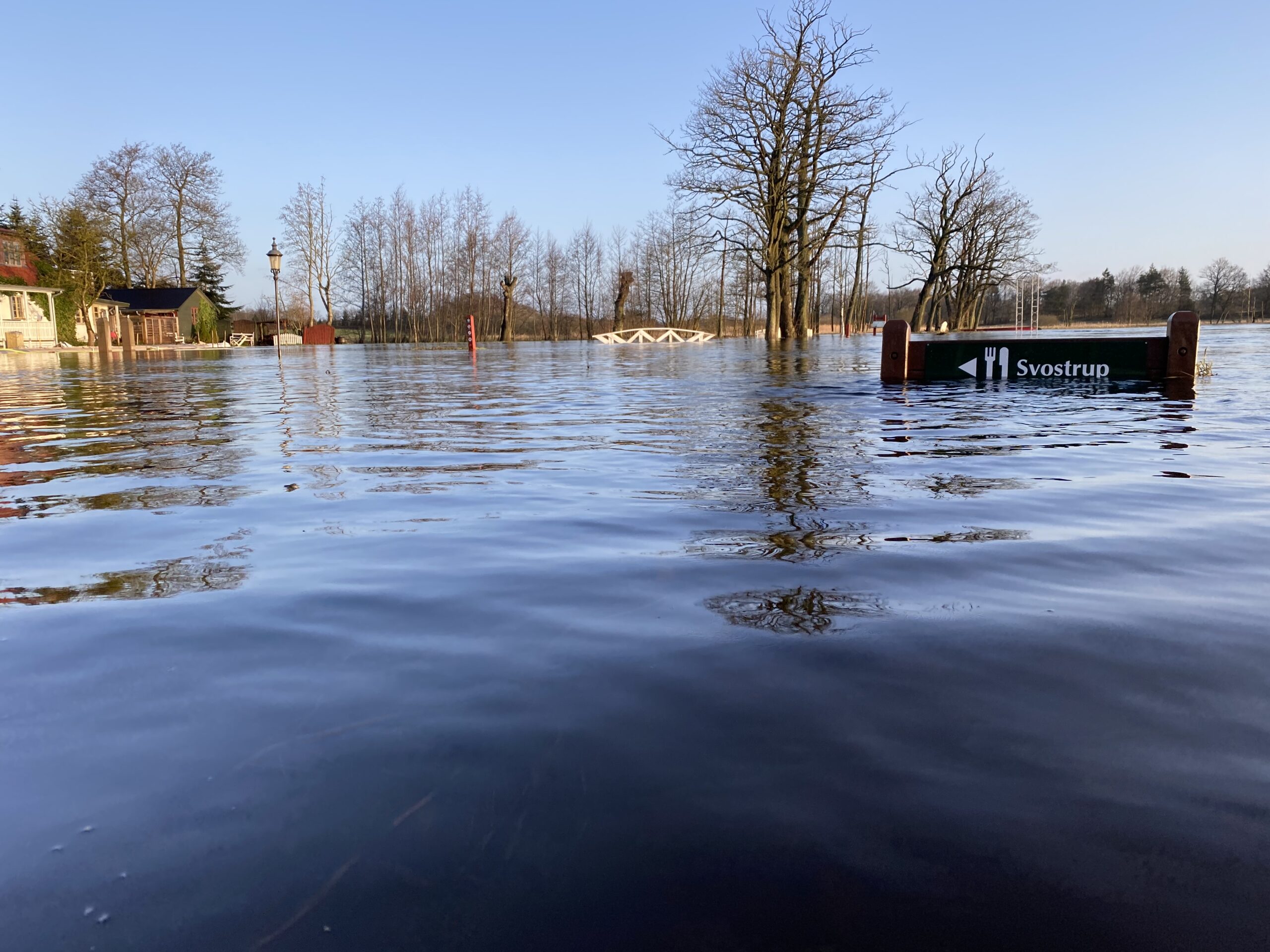
Is the Gudenå Trail passable?
Some sections of the Gudenå Trail are regularly flooded. This is especially true of stretches in Vejle municipality, in Uldum Kær and several stretches on Trækstien.
In the project Gudenåstien – from source to fjord, we have created so-called dynamic communication of the most vulnerable stretches, so you can be informed about accessibility here and now and at the same time be shown alternative paths or roads. You can find it on
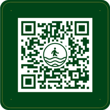
It works in such a way that every morning at 8am, data is retrieved from the loggers that measure the water level in Gudenåen and relates this to the height of the path. At the same time, the exposed stretches are identified, and before and after, QR codes are set up to remind you to check the water level before continuing – see illustration.
You can also check the water level here.
Gudenåkortet -> Hiking -> Flooding on the Gudenå Trail