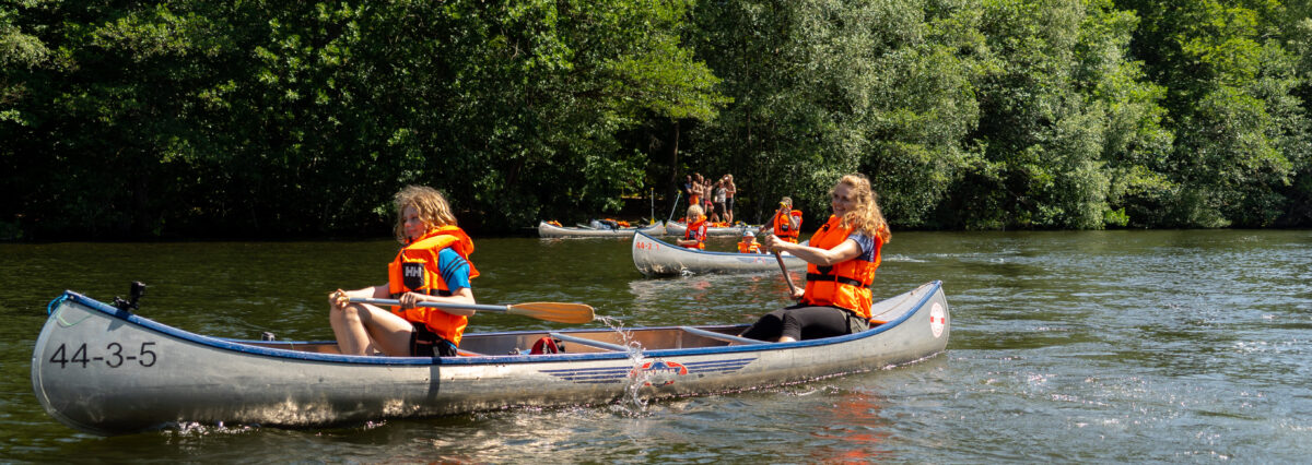
Experience the Gudenå River
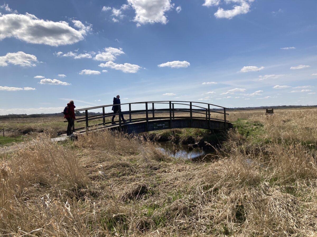
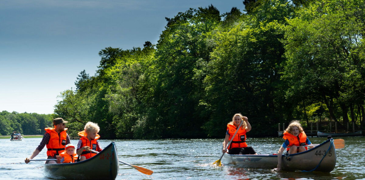
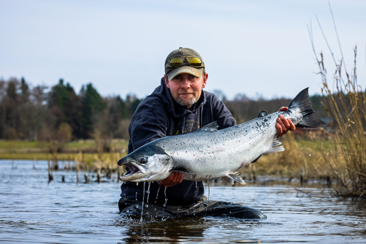
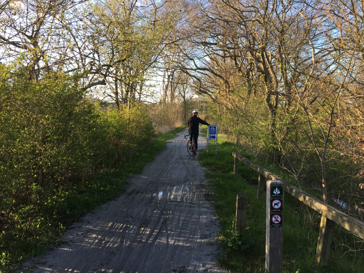
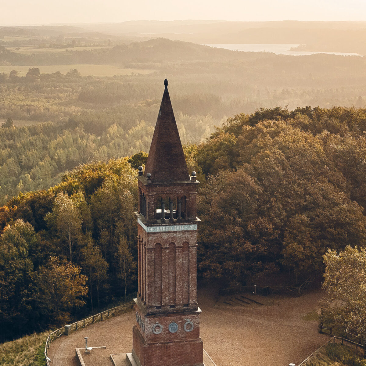
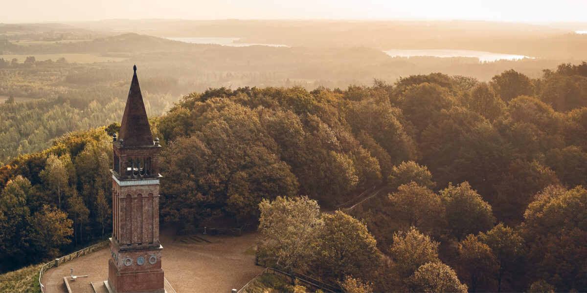
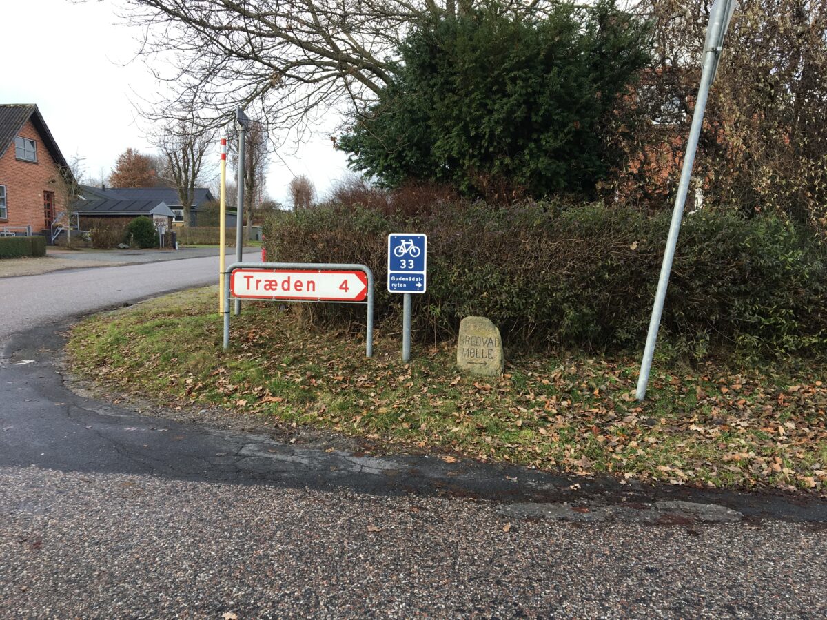
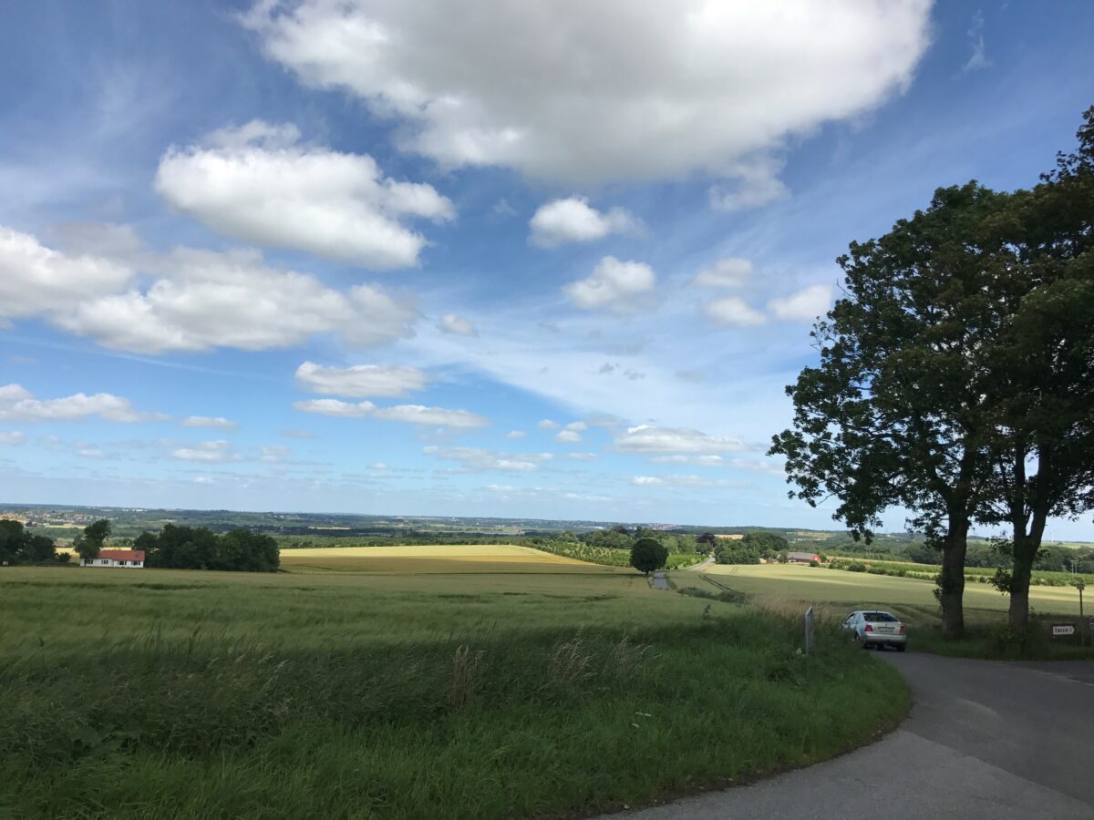
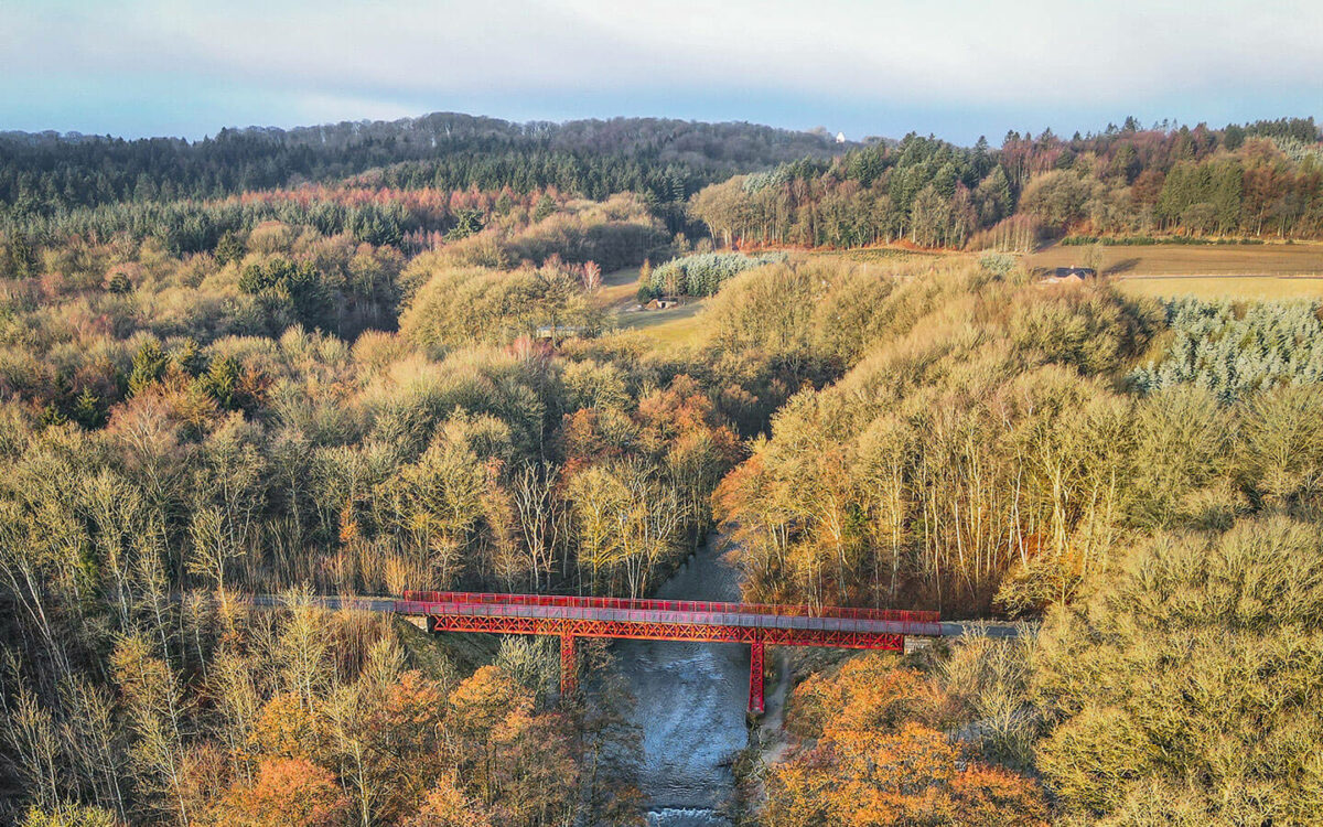
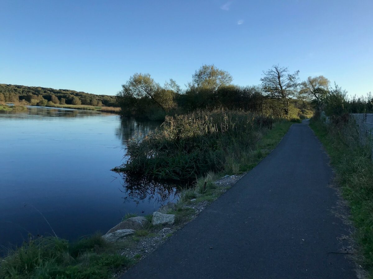
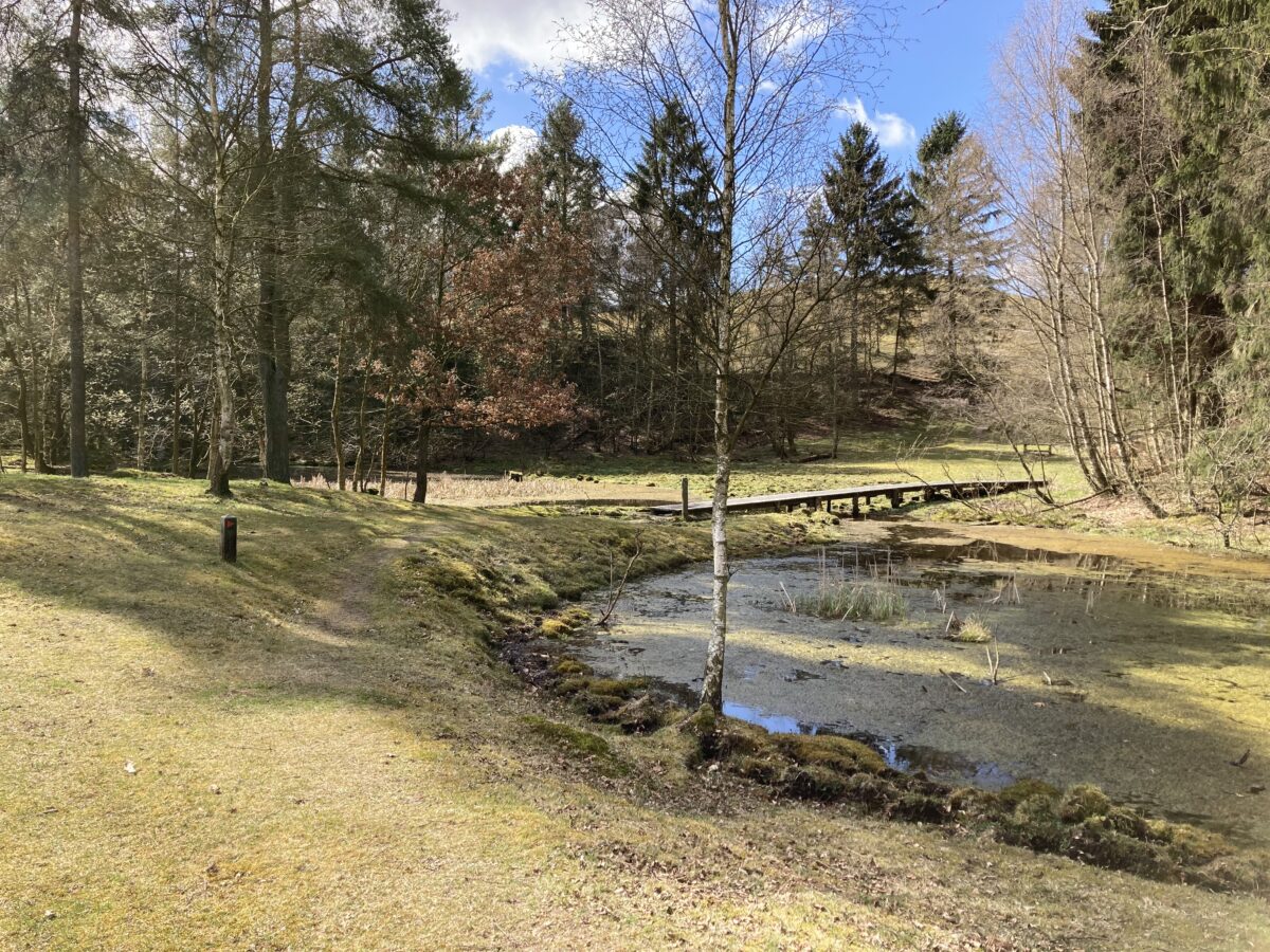
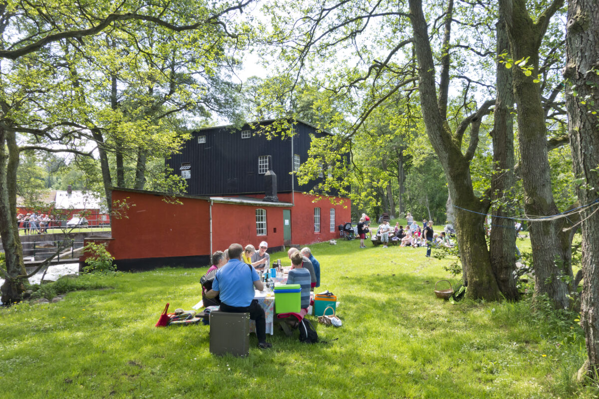
The Gudenå is long and varied. Here, you can hike - both long and short trails. You can sail and experience the landscape from the water or fish both from the shore and the lake. You can cycle, for example, on the disused railways where you are free from traffic, and on some of Denmark’s best MTB trails. Along the way, you will encounter unique nature, vibrant towns, and cultural and historical spots of exceptional quality.
Remember to be considerate and follow the rules
Public and Private Areas: Public areas are those owned by the state/Nature Agency and municipalities. Here, access is allowed around the clock. On private areas, you have access from 6 AM to sunset. When stopping, there must be at least 150 meters to residential and operational buildings on private areas and at least 50 meters on public areas. - As a sailor, you should know that you can land at marked locations. On private areas and islands, it is not allowed to land unless there are clearly marked rest and overnight places and landing spots. If in doubt, do not land. There are sailing prohibitions in several places in the Gudenå - for example, you are not allowed to sail in reed and bulrush areas. Additionally: Remember your trash. Keep your dog on a leash. Avoid noisy behavior - especially in the evening and at night. Be considerate - also to those who live by the Gudenå.
Read more here


