Hiking
  Sailing
  Fishing
  Cycling
  Visit attractions
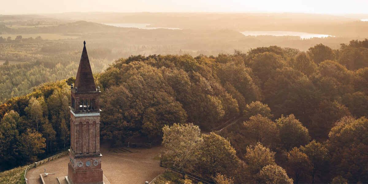
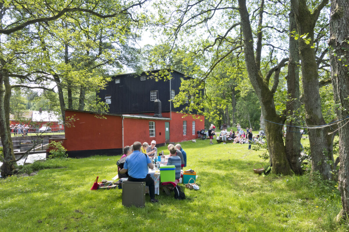
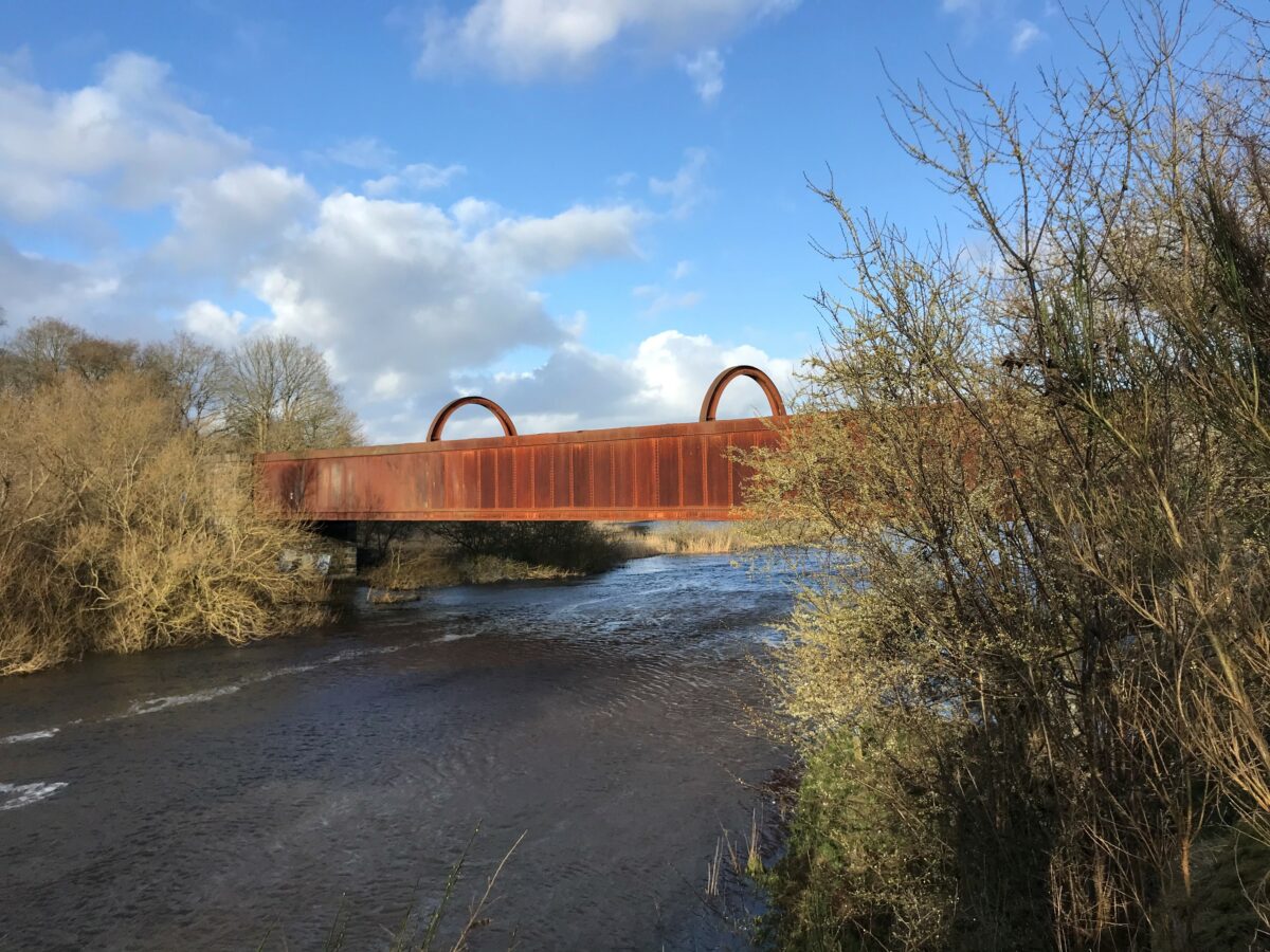
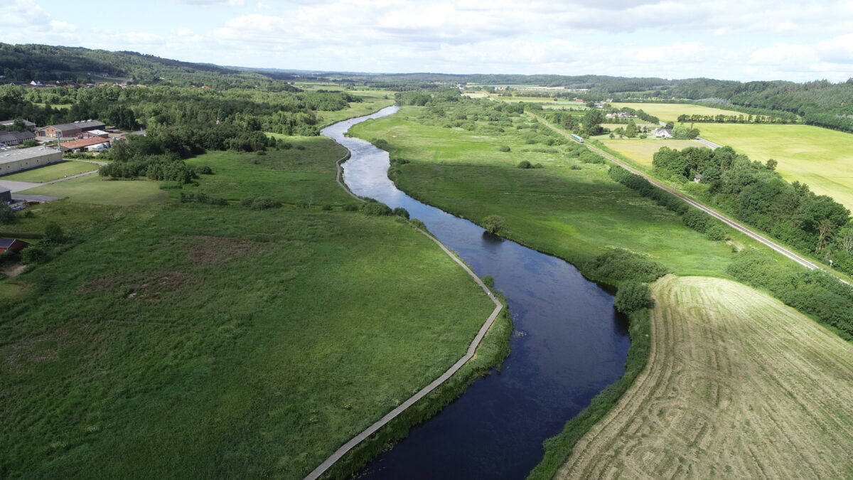
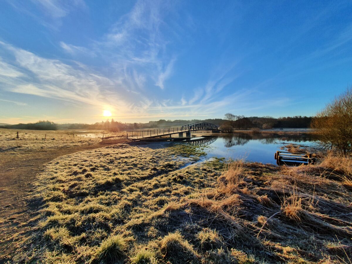
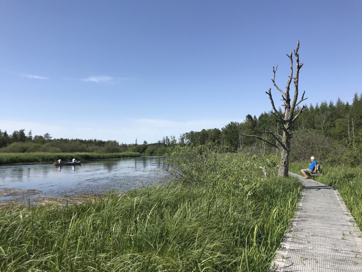
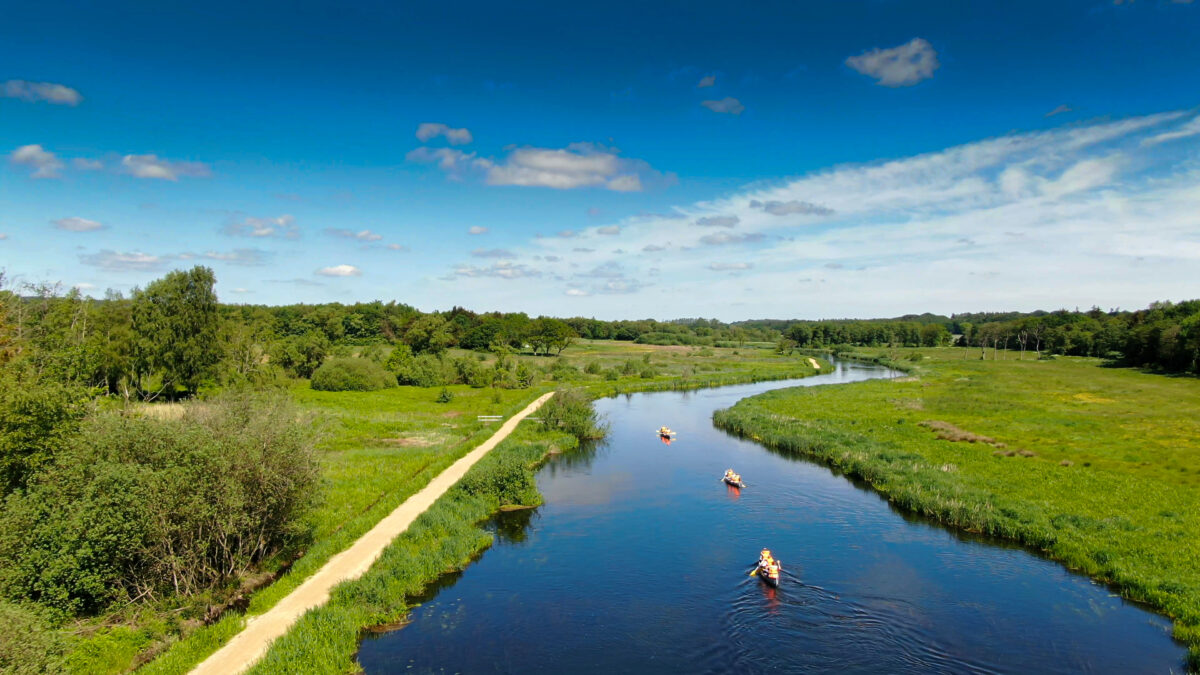
The Gudenå Trail between Kilde and Klostermølle
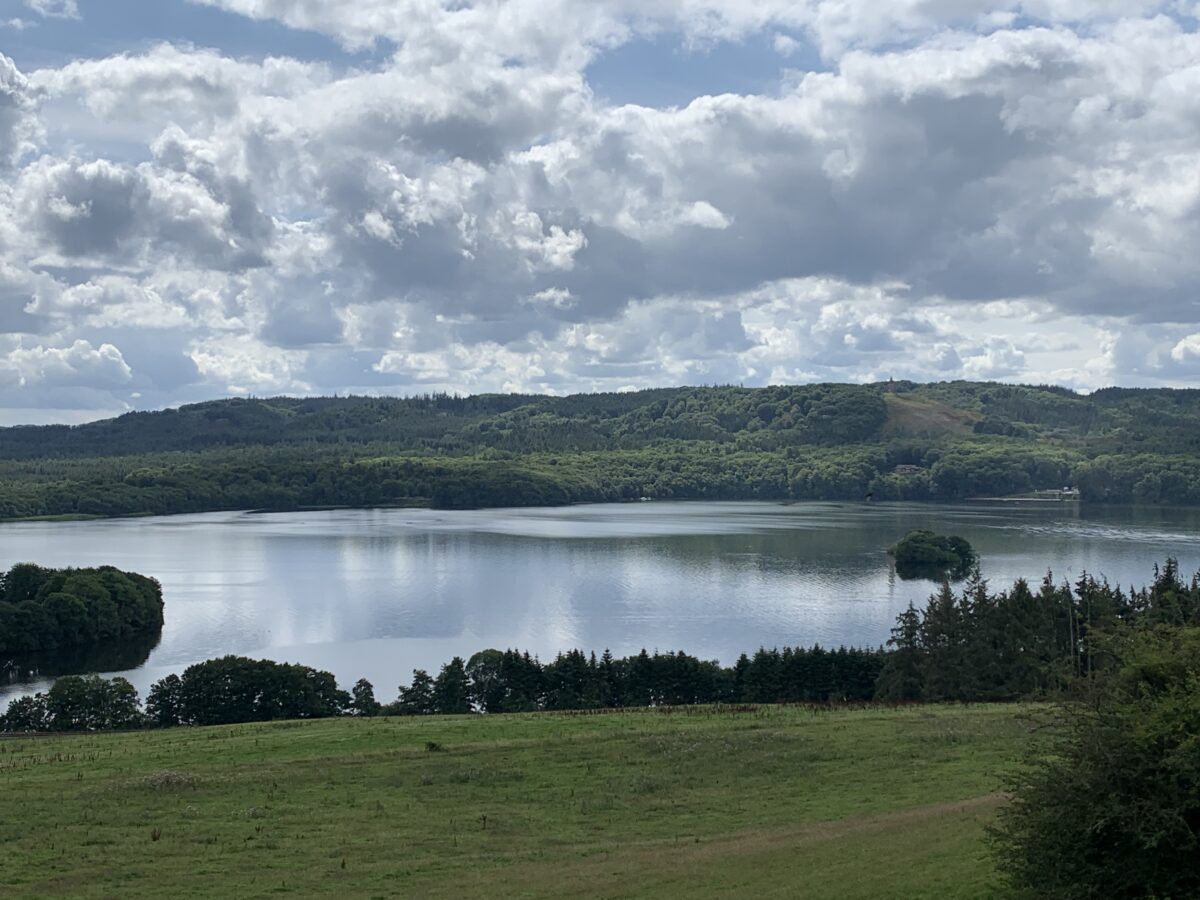
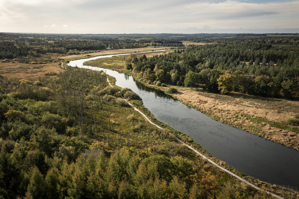
Gudenåen originates in the Great Watershed - that is, where the water divides and flows west and east respectively. The two major rivers, Gudenåen and Skjern, originate just a few hundred meters apart. And down the middle between the two springs runs the Hærvejen. The trail to Tørring runs through an exceptionally beautiful and varied landscape. Gudenåen is initially just a small stream, but from just before Tørring the landscape opens up more. From Tørring, the river is wide enough to sail on. The Gudenå Trail continues through Uldum Kær, through Rask Mølle, over Den Genfundne Bro, from Voervadsbro towards Sukkertoppen to Klostermølle.
Leaflet 1 Gudenåstien from Kilde to Ry (pdf - large)