Hiking
  Sailing
  Fishing
  Cycling
  Visit attractions
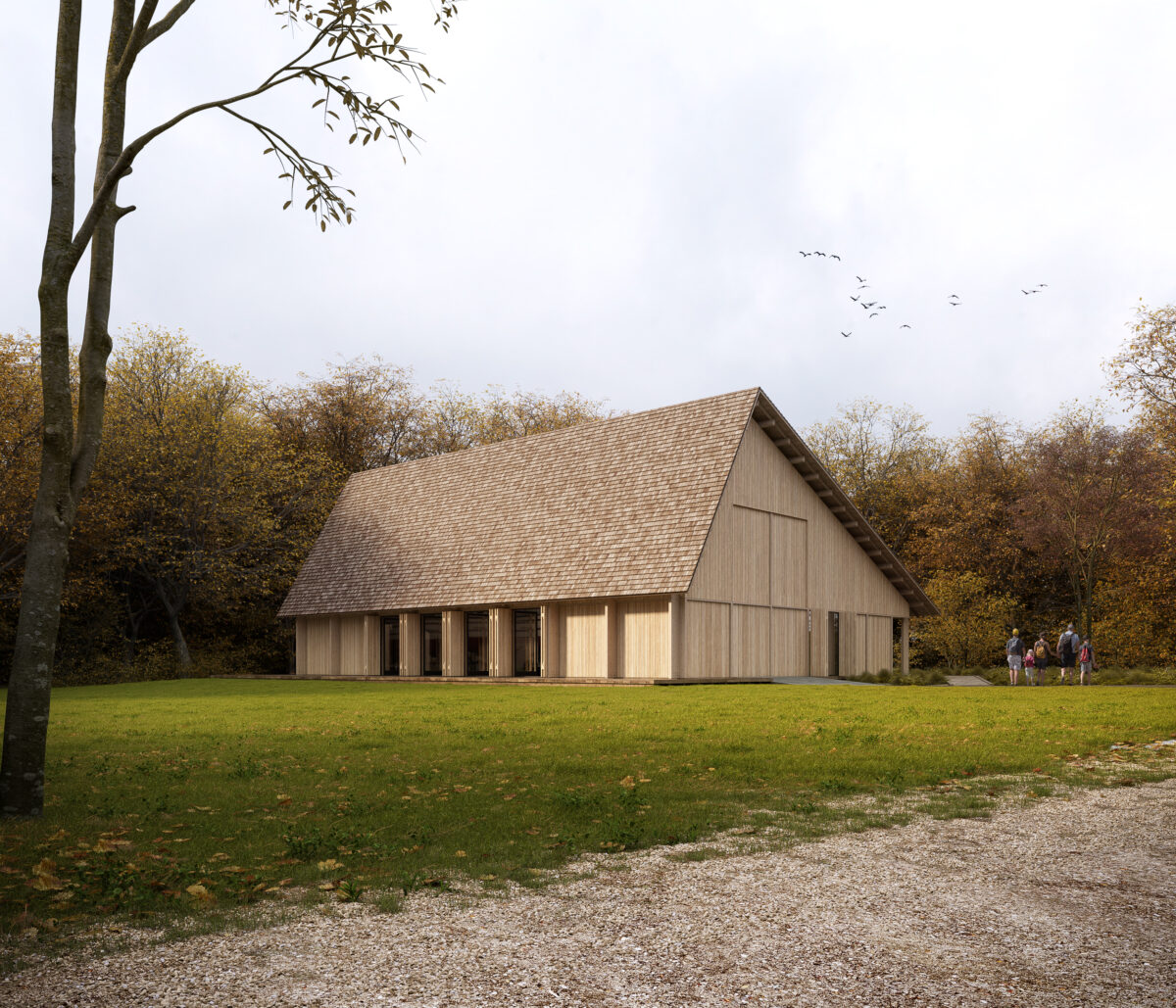
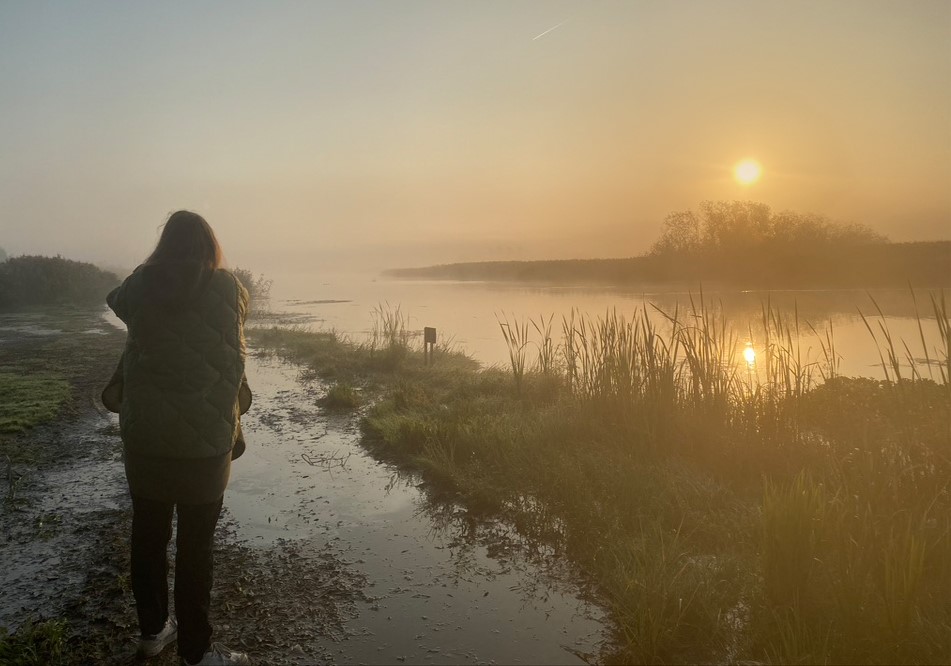
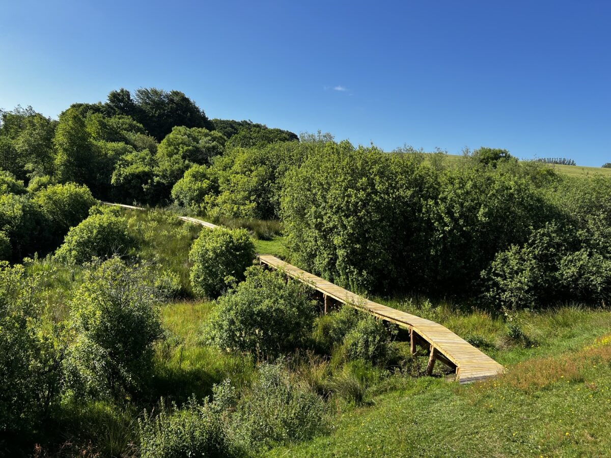
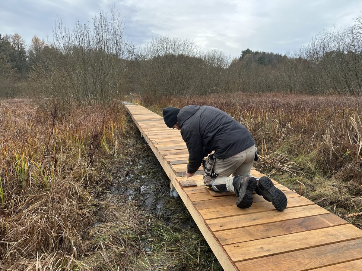
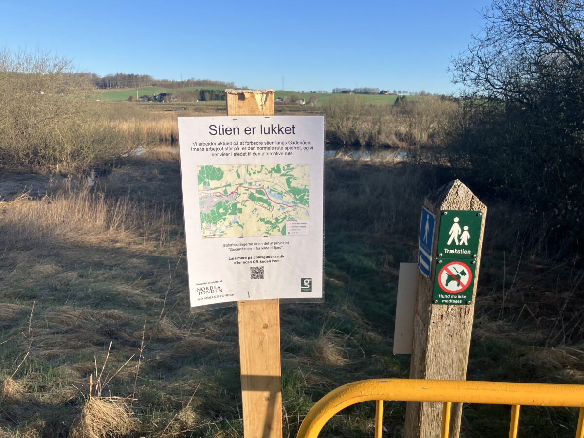
One of the goals of the major trail project has been to become better at communicating when the Gudenå Trail is flooded – so-called dynamic communication. Initially, it only works on the Trækstien trail between Silkeborg and Randers, but in a month or two the stretch from the source to and including Uldum Kær will also be included. It is shown on the Gudenå map – see link below. The system is based on data from so-called water level loggers, which measure the current water level every morning and compare it with the height of the path.
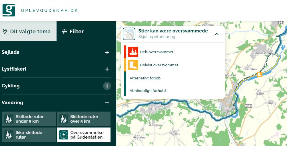
The system translates into three accessibility levels – fully flooded, partially flooded and general conditions. If the path is fully or partially flooded, alternative paths are automatically switched on for you to use. Later on, pictograms with QR codes will be placed where you should check the water level out there – i.e. where it is possible to get to and from the main path.
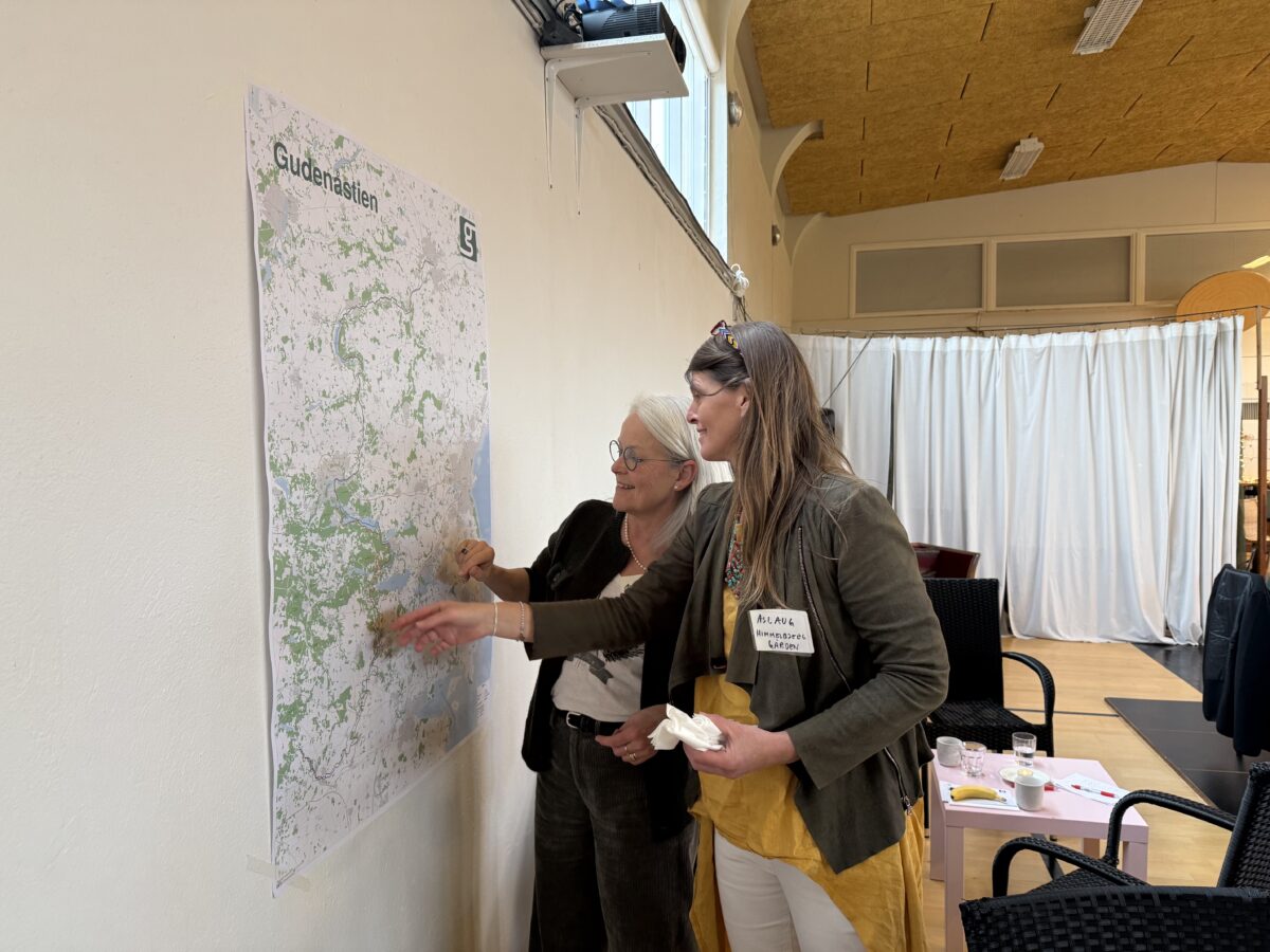
The Gudenå map