Sailing
  Fishing
  Cycling
  Visit attractions
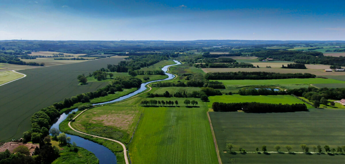

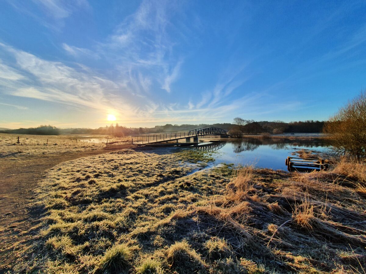
Trækstien
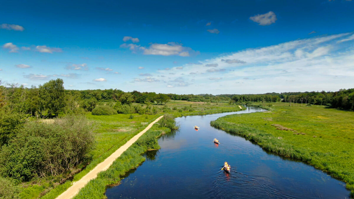
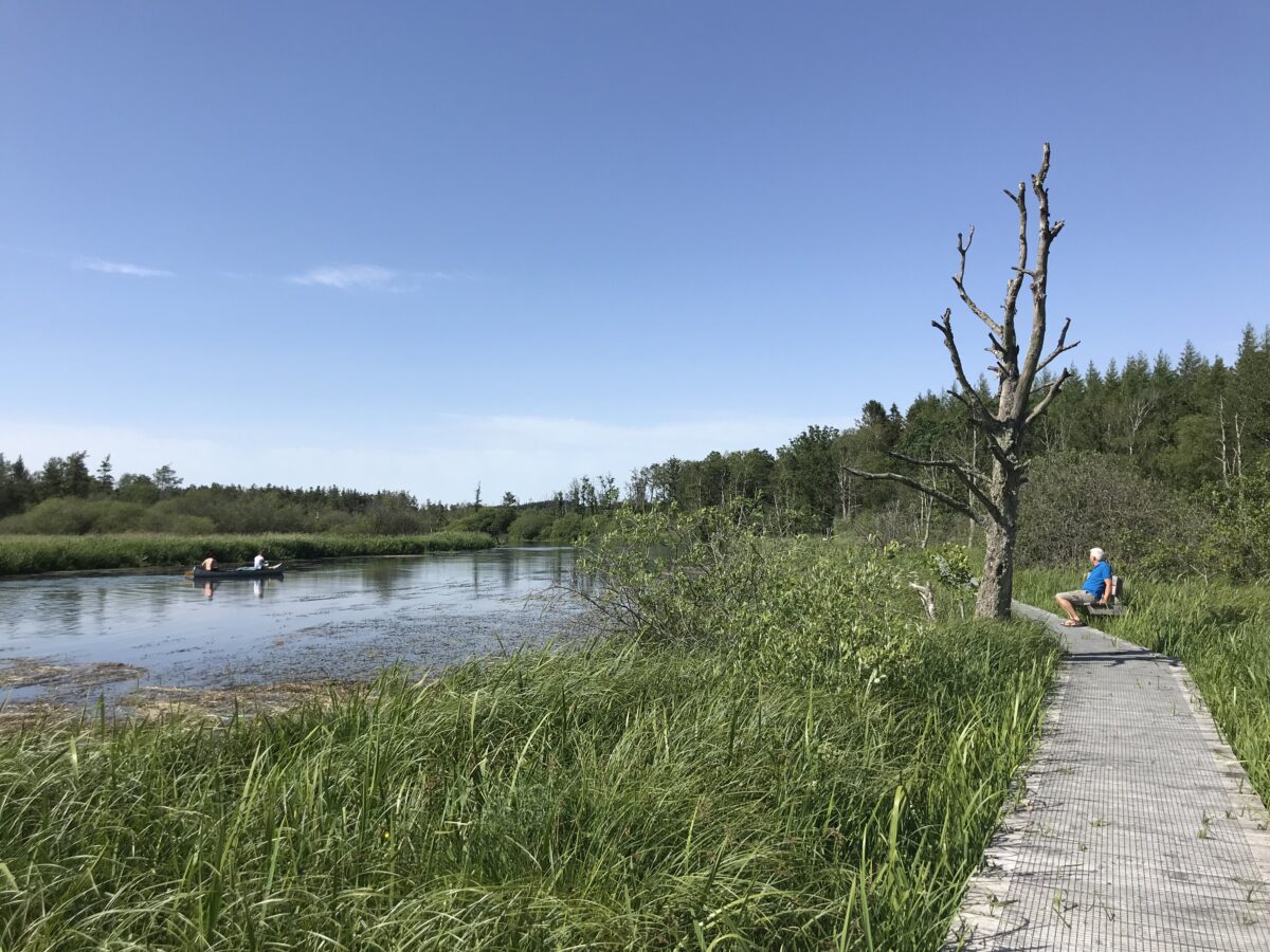
Trækstien is a nature trail that follows the river Gudenåen from Silkeborg to Randers - a total of approximately 74 km. You'll enjoy unique nature experiences in a varied and - at times - very wet landscape. Here you feel the power of nature. Read about the towpath and its five sections on this page.
Map of the Trækstien
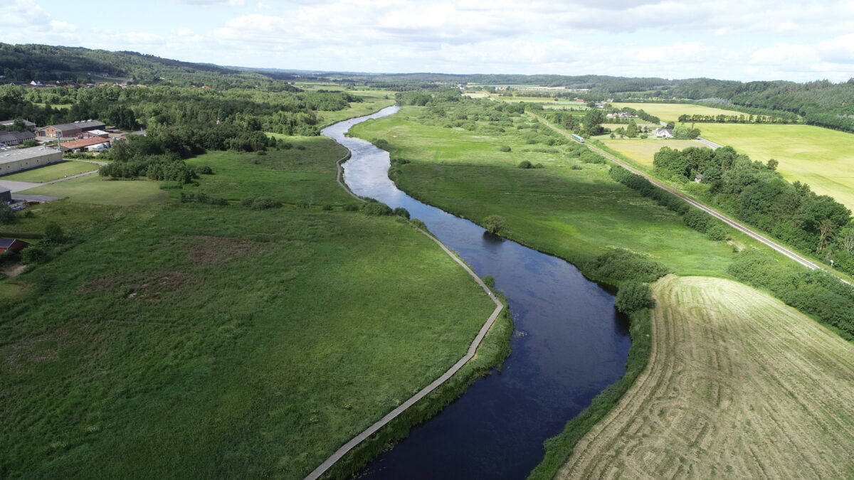
Trækstien is a path that follows the river Gudenå between Randers and Silkeborg. The path is constantly changing – interacting with the seasons, weather and aquatic plants that in mid-summer can slow down the water and cause the river to overflow its banks. So be prepared for adventure!
The path was created in the second part of the 19th century to transport goods from Silkeborg paper factory to Randers harbor, where the goods were reloaded onto ships and sailed to Copenhagen. Along the way, several of the old barge taverns have been preserved where you can still get good food. The workers who pulled the barges were called barge-pullers – that’s why the path is also called the barge-puller path.
The towpath can be divided into five sections. Read about them further down this page and find maps (pdf) below.
Find maps (pdf) of the five sections on Silkeborg.dk.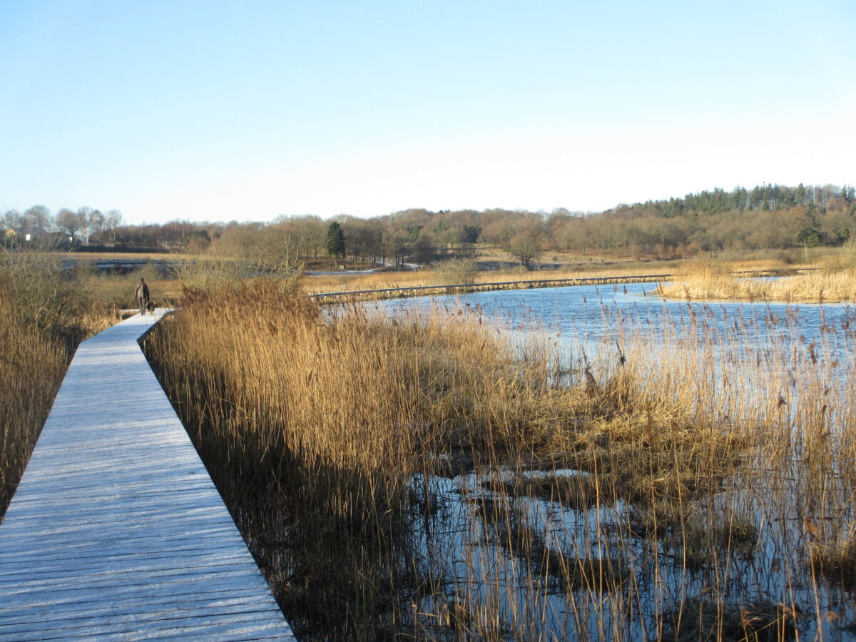
Find Trækstien on the Gudenå map
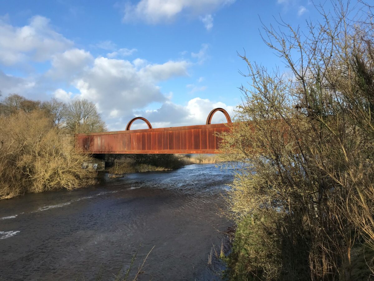
On the Gudenå map you can find facilities, places to stay and eat, historical spots – and there are many of them. In addition to the many old barge owners’ inns, you can see the beautiful monastery church Tvilum Kirke on the opposite bank, Æ Swot Man – a tarred pole that the barge owners wrapped the rope around when towing the barge around a bend in the river, the reconstructed ship launch Høj Stene, Gudenåcentralen and historic bridges. Also find the special nature spots such as Sminge Lake, the bird-rich meadows and the impressive delta south of Randers.
Find it all on the Gudenå mapIs the towpath flooded?
The towpath is often more or less wet due to the proximity to the water. The water level depends on the weather and aquatic plants that slow down the flow of water towards the fjord in mid-summer. The driest months are therefore generally April, May and June. Some stretches are more challenging than others. The wettest stretches are between Bjerringbro and Langå. Here you can also rent a canoe. You can check the current water level on the Gudenå Committee website. Or you can ask in the Facebook group Farbar Gudenå, where users help each other – link below.
Public Facebook group Farbargudenå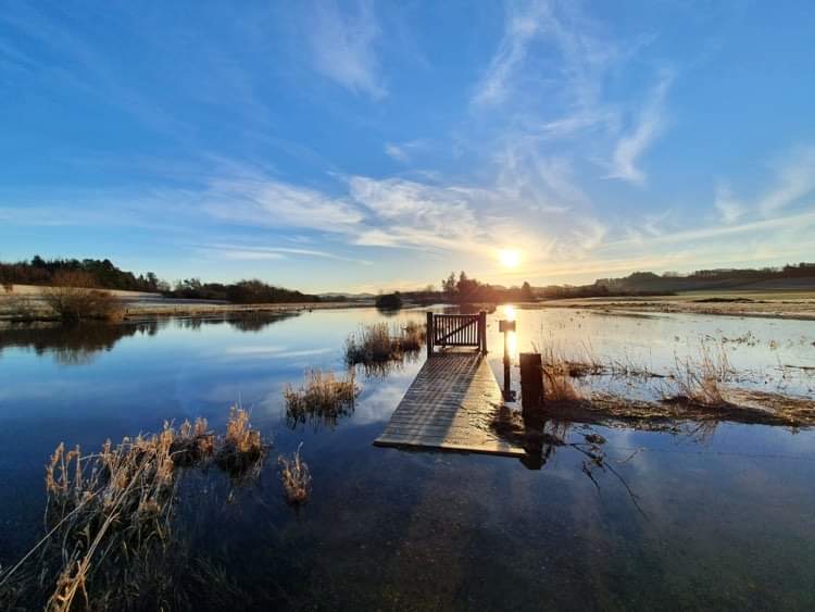
The path of the barge dragons
The towpath between Silkeborg and Randers was largely created by the men who, especially in the second part of the 19th century, hauled goods on barges between Silkeborg and Randers. During this period, towns like Ans and Bjerringbro grew.
Read about the path of the barge dragons here.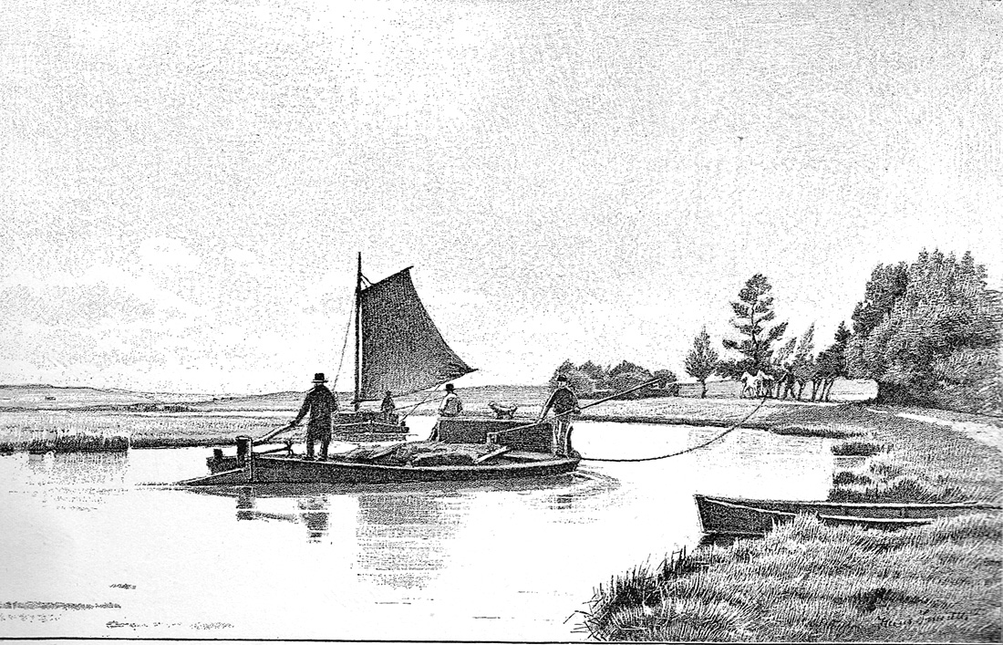
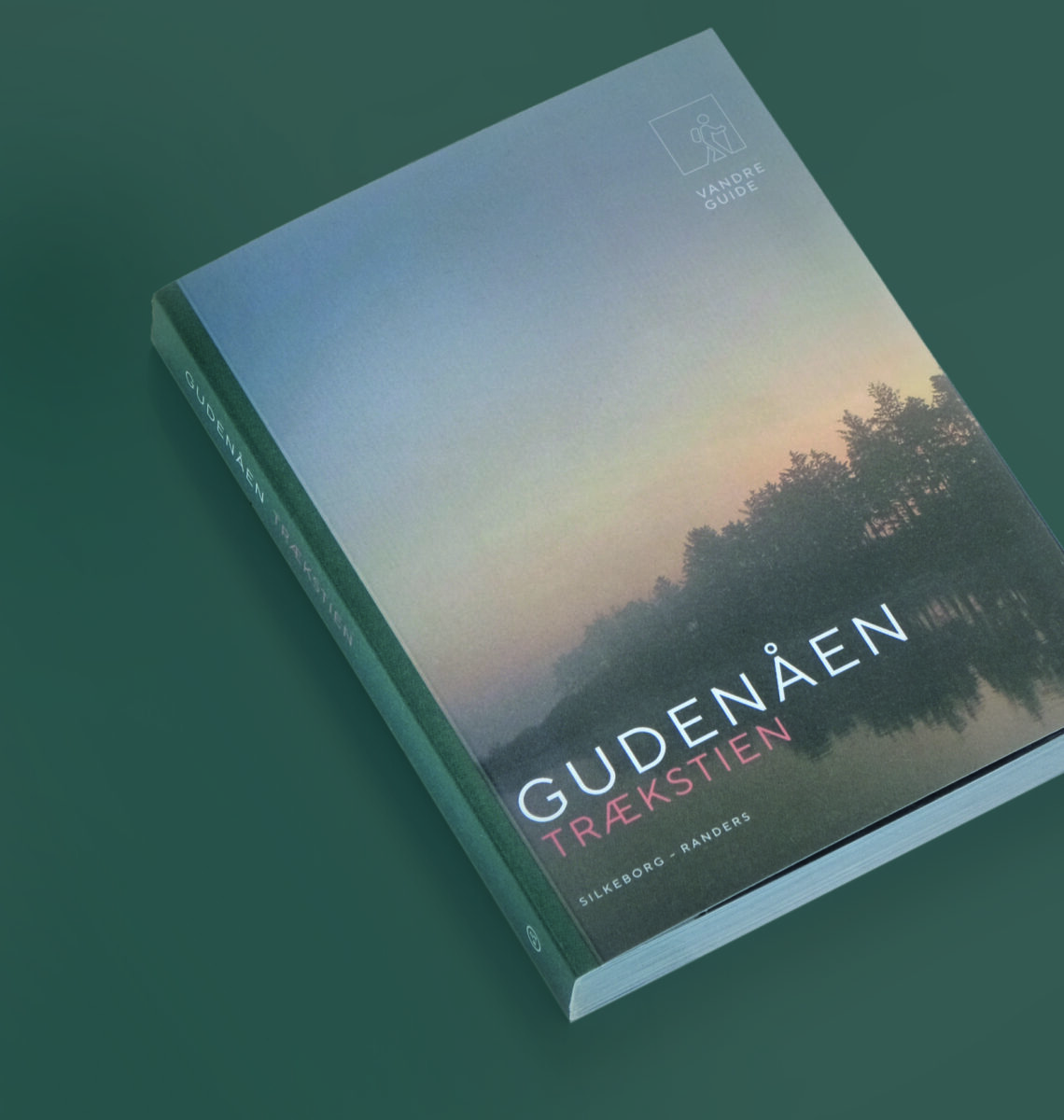
Book about the towpath
In 2022, the small publisher Dear Nature published a small, beautiful hiking book about Trækstien. The book guides you along the scenic, cultural-historical route. If you are interested, it can be purchased via this link
Buy the book about the towpath