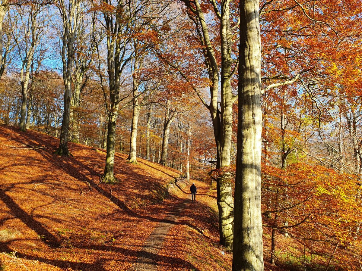
Hiking
  Sailing
  Fishing
  Cycling
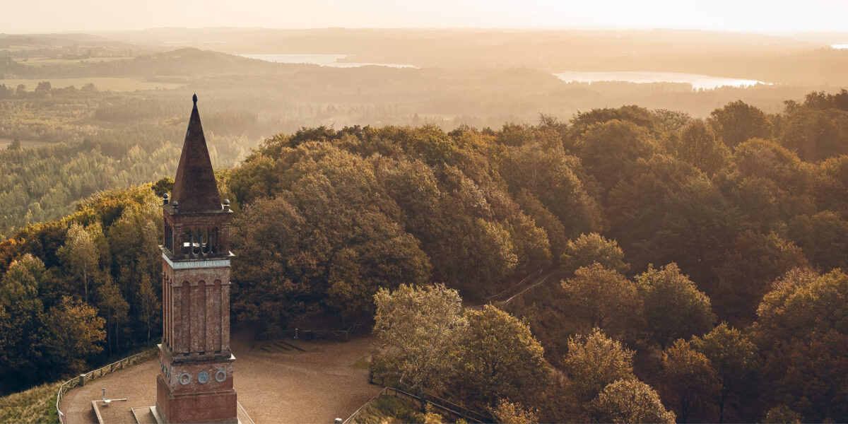
  Visit attractions
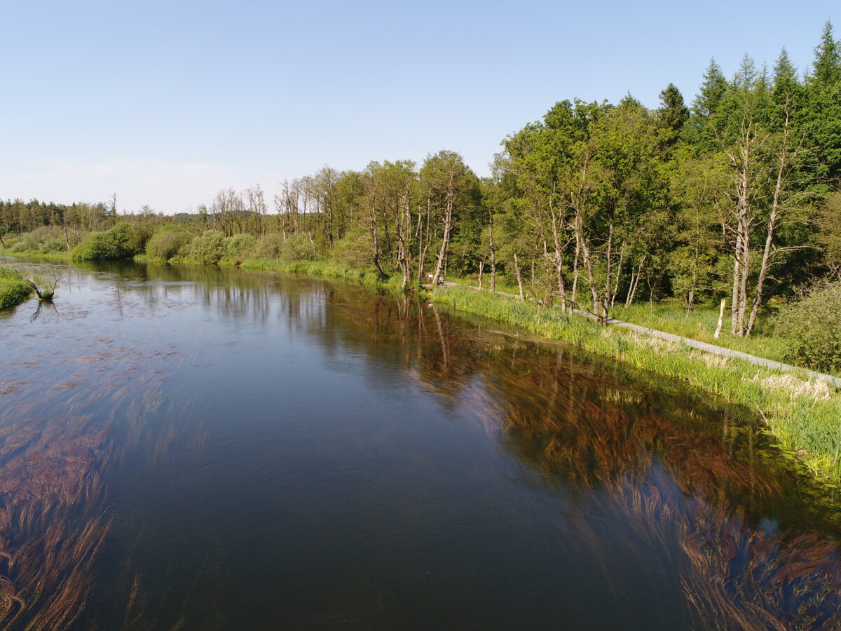
Short description of the route
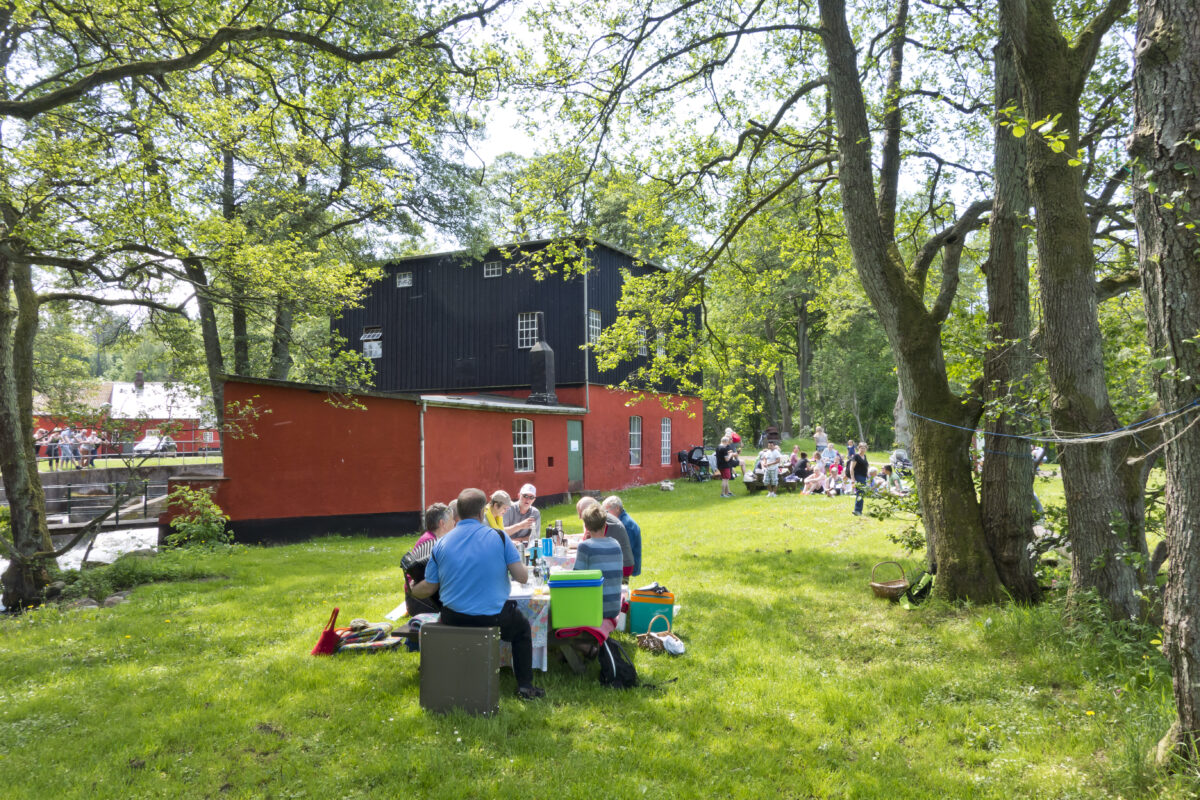
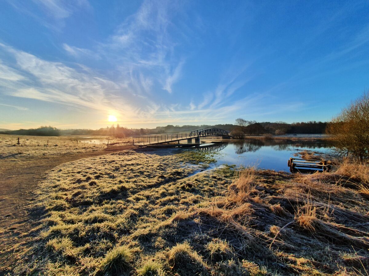
From Svostrup to Ans, Trækstien is a nature trail with small benches and seating areas where you can eat your packed lunch or take a short break. In Kongensbro, the towpath changes sides and continues – via the shelter on the other side of the river and a footbridge suspended under the road bridge – towards Ans and Tangeværket.
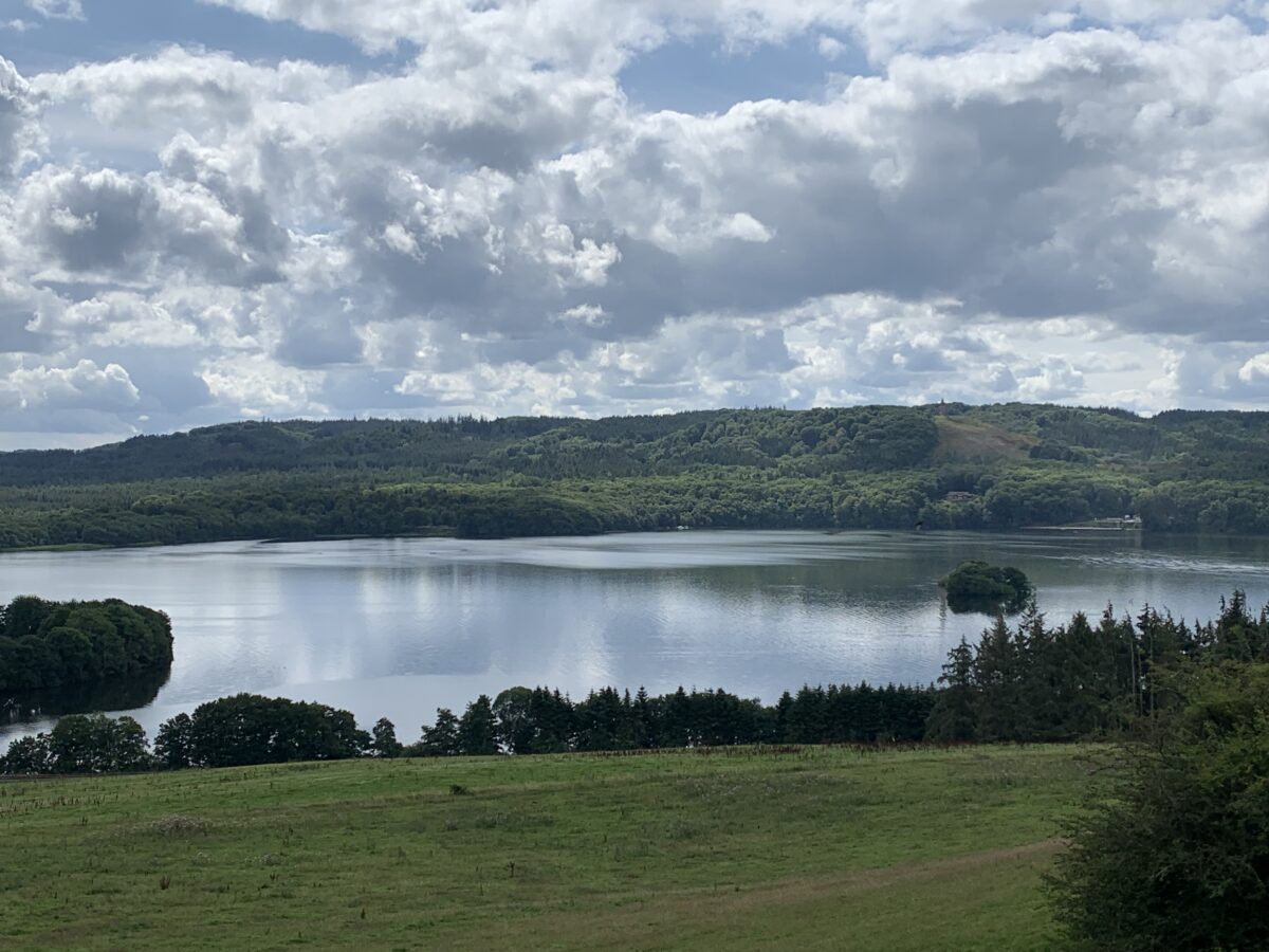
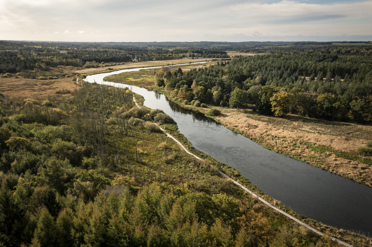
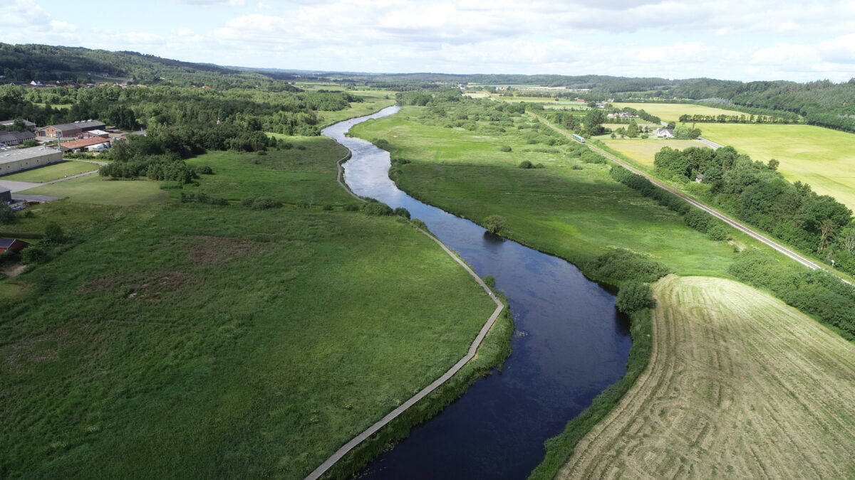
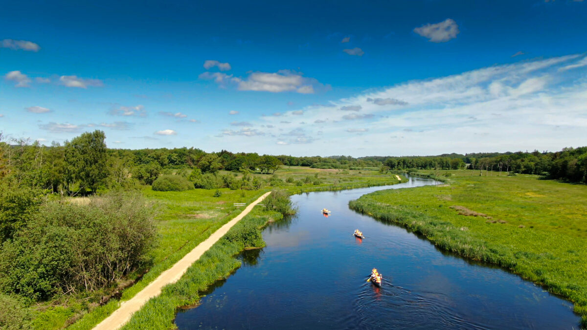
From Ormstrup Skov to Sahl Rasteplads, Trækstien runs along a forest road. At Sahl Rasteplads there is access to Ans on the other side of the lake via Ans Bro.
The original course of the towpath along the banks of Gudenåen can be found at the bottom of Tange Lake. When Tange Lake was dammed, barging from Silkeborg to Randers was no longer possible.
See the description of the entire Trækstien here and see the five sections as pdf at silkeborg.dk.