Hiking
  Sailing
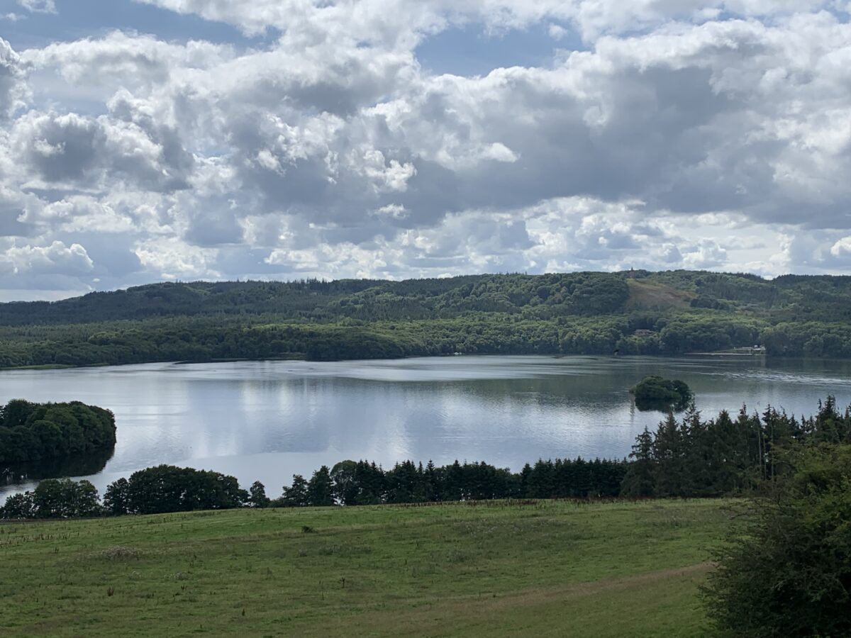
  Fishing
  Cycling
  Visit attractions
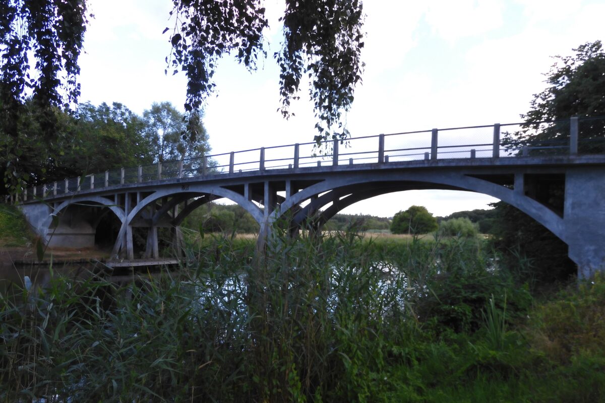
Description of the route
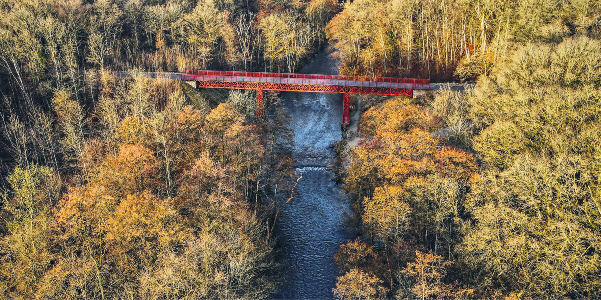
Langå is characterized by its location by the river Gudenåen and its status as a railway hub. The old rust-red railway bridge from 1862, which the towpath passes, is worthy of preservation as a monument to the pioneering days of the railway and the end of barge travel.
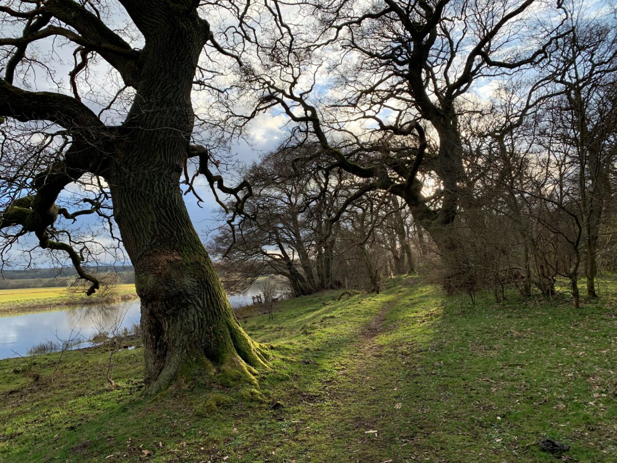
Between the old railway bridge and Amtmand Hoppes Bro, which is the oldest concrete road bridge, Trækstien passes Langå Egeskov, and on the other side of the river is the Løjstrup manor with a unique location on the old protected medieval ramparts with moats that border Gudenå.
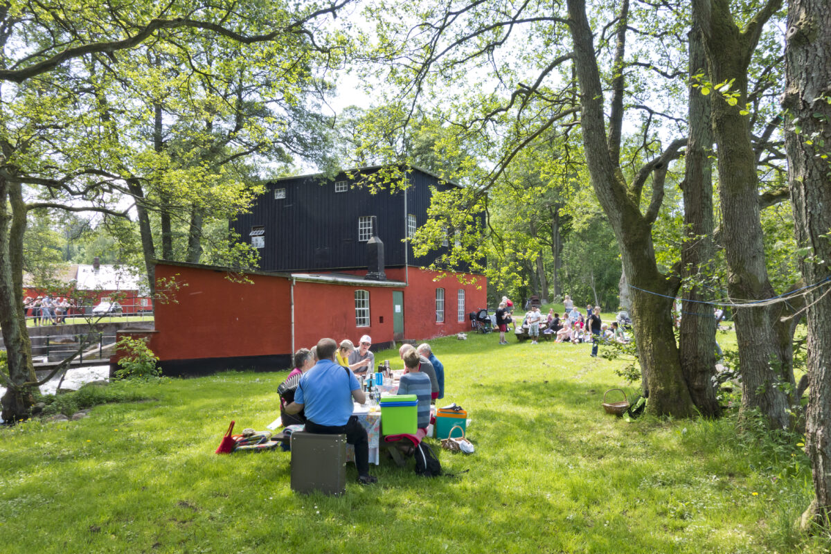
In 2016, a 3 meter high iron sculpture of a barge carrier by artist Erik Heide was erected at Langå Marina.
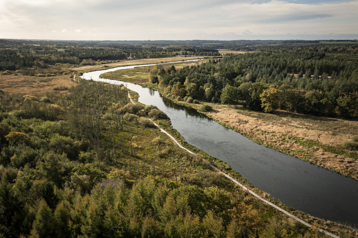
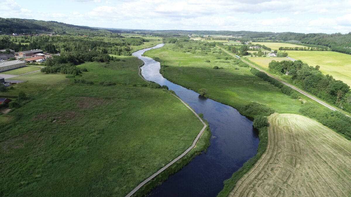
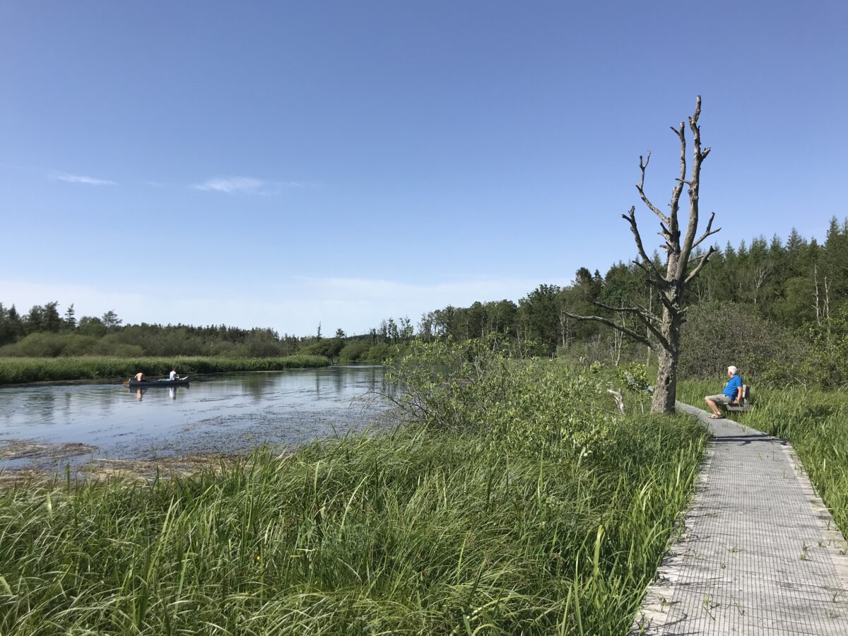
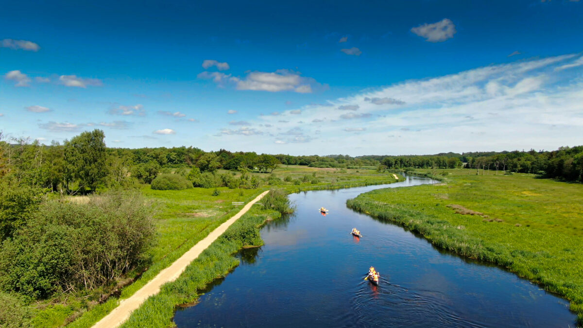
On the stretch between Langå and Randers, Aage V. Jensen Nature Foundation has restored 328 hectares of meadows and wetlands on both sides of the river Gudenåen. Here you can experience a rich bird life both during the breeding season and the migration season. In some places, the old dikes have been preserved along Gudenåen. The flooded meadows contribute to greater biodiversity and cleaner water in Gudenåen. There are several good fishing spots along Gudenåen.
Since the Middle Ages, there have been salmon farms in Randers Fjord and up Gudenåen to Ulstrup. Frisenvold Laksegård was the dominant farm in the 1800s. Most salmon farms were eventually abandoned to make way for barge traffic.
Fladbro Kro is located at the natural crossing point over Nørreåen. The current main building was built in 1859. Randers Municipality bought the inn and the entire area in 1897 and created a recreational forest for the citizens of Randers. The inn passed into private ownership in 1960.
The towpath along Gudenåen ends – or begins – at Tørvebryggen in Randers. At Tørvebryggen was the port of call. Here, barge pullers were hired to pull the barges up the Gudenå river, where peat, firewood and bricks were unloaded. Kåghavnen has long since been filled in, but several of the old warehouses are still here.
See the description of the entire Trækstien here and see the five sections as pdf at silkeborg.dk.