Hiking
  Sailing
  Fishing
  Cycling
  Visit attractions
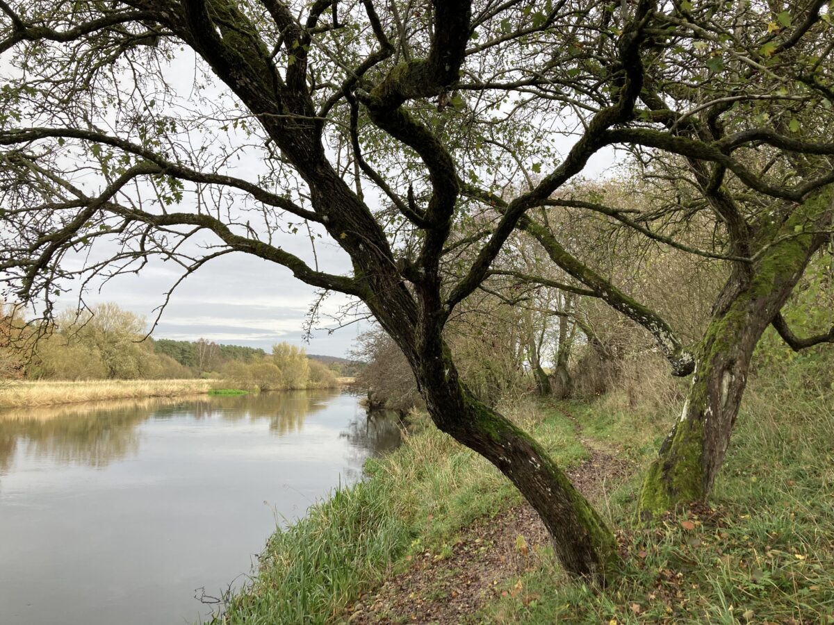
Short description of the route
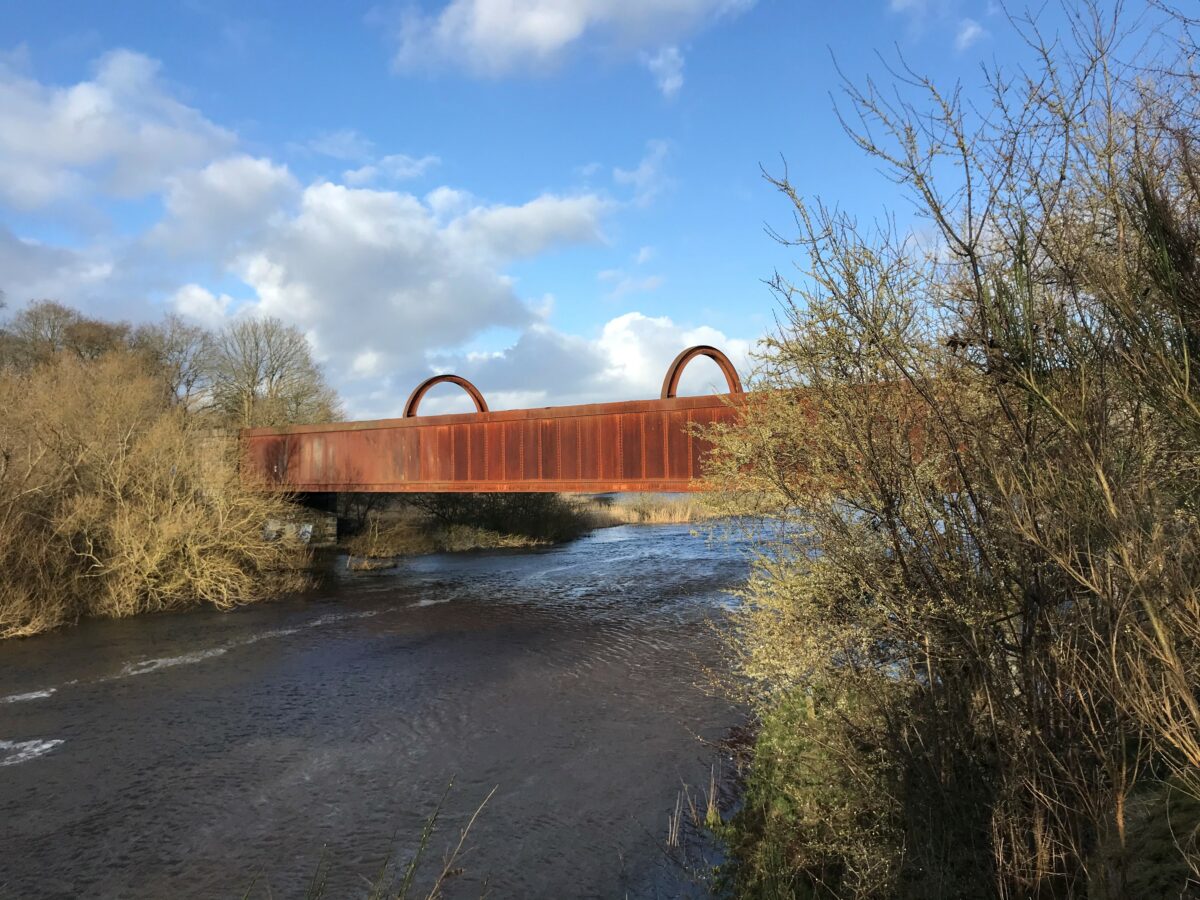
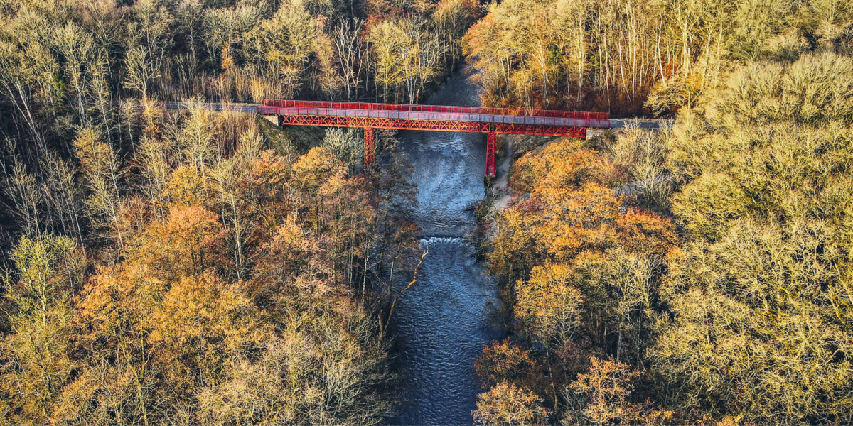
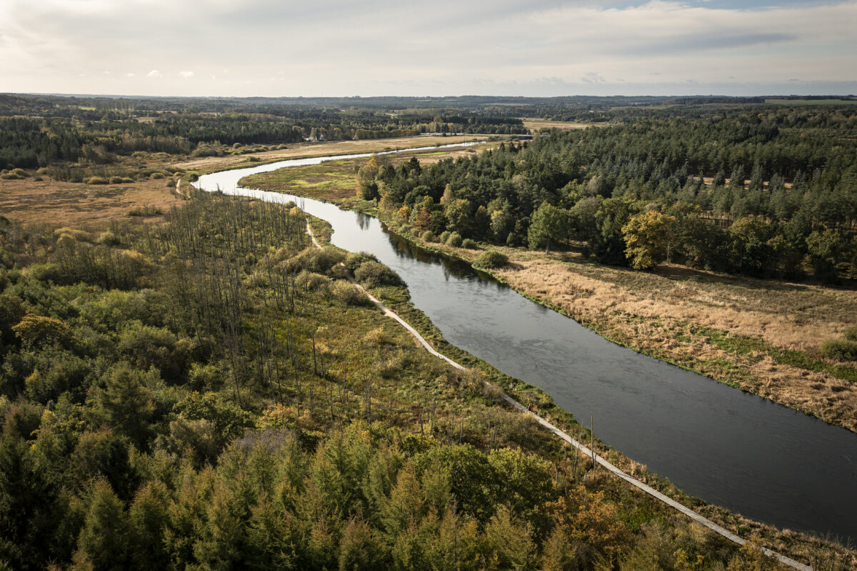
The towpath runs on the south side of Gudenåen, while the railway runs on the north side through the station towns of Bjerringbro, Ulstrup and Langå. Before Langå, Trækstien again crosses the river via a listed railway bridge from 1862.
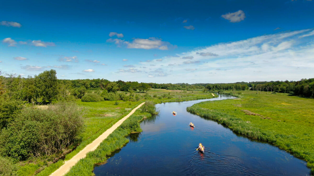
The path between Kjællinghøl and Langå is a nature trail that can be very wet and with tall grass. You can walk on the asphalt road Hagenstrupvej between Busbjerg Kanorasteplads and Bamsebo Camping. Between Bamsebo Camping and Ulstrup, Trækstien has been renovated so that it is passable most of the year. From Åbro to Langå, when the trail is wet, you can choose a nice alternative that goes just north of Gudenåen – just pass the railway at Åbro and choose the small path that follows the railway to Langå (see the Gudenå map with alternative route suggestions).
See the description of the entire Trækstien here and see the five sections as pdf at silkeborg.dk.