Hiking
  Sailing
  Fishing
  Cycling
  Visit attractions
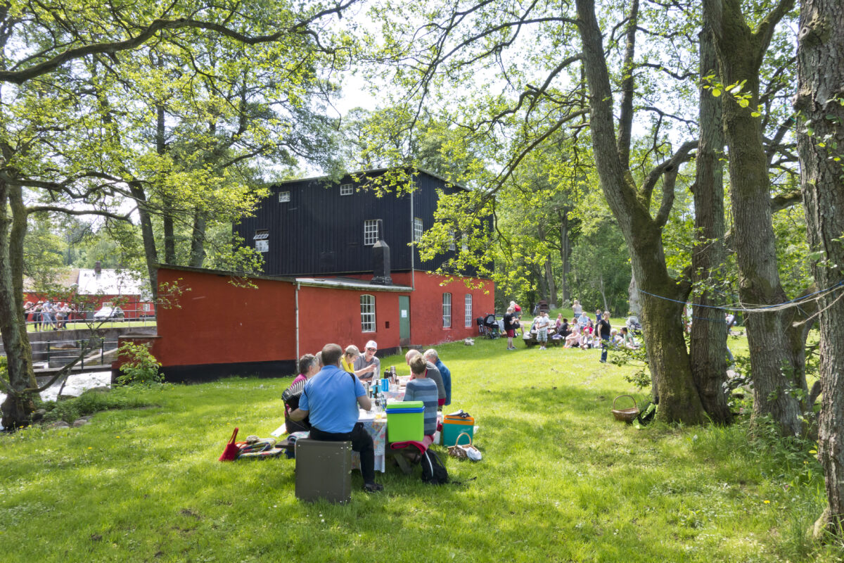
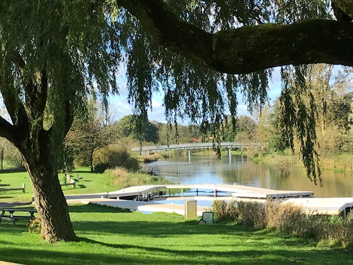
Short description of the route
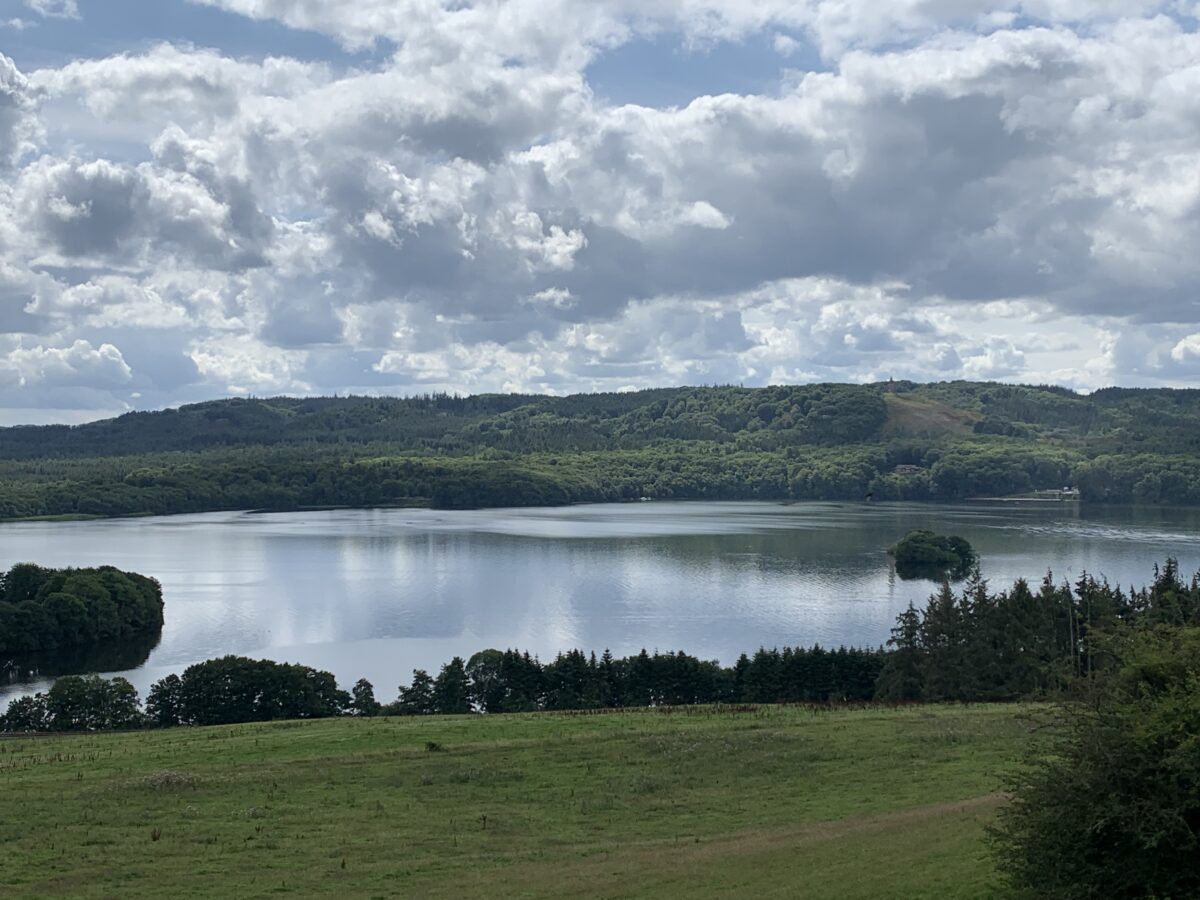
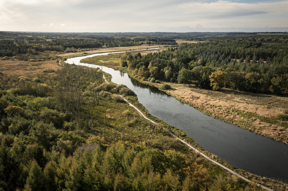
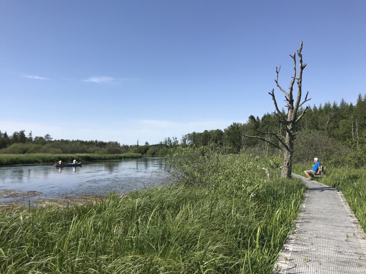
From Ans Bro to the Energy Museum, the towpath follows a forest road in Gudenåcentralens Plantage along Tange Lake.
During high water levels, the towpath is flooded in Gudenåcentral’s garden.
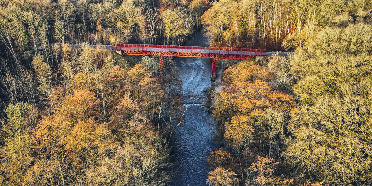
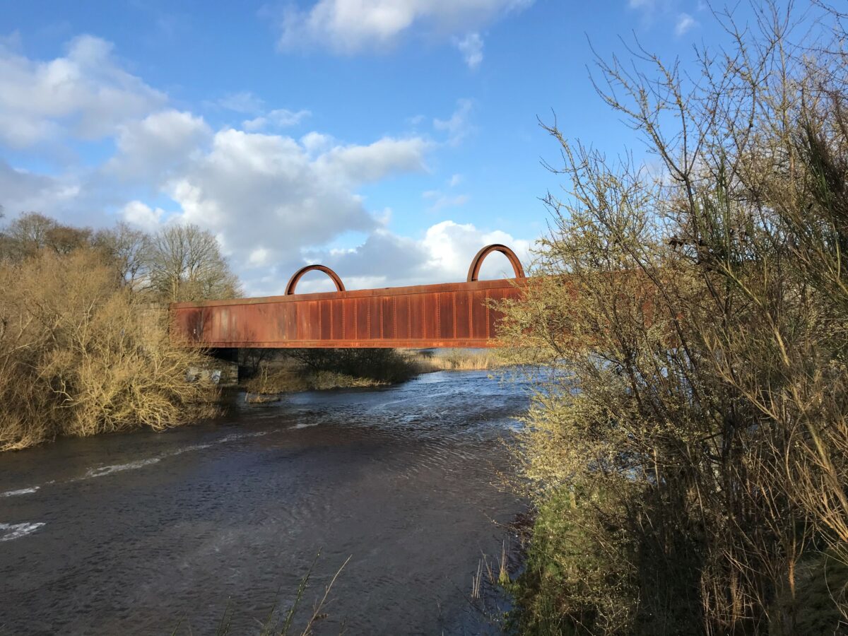
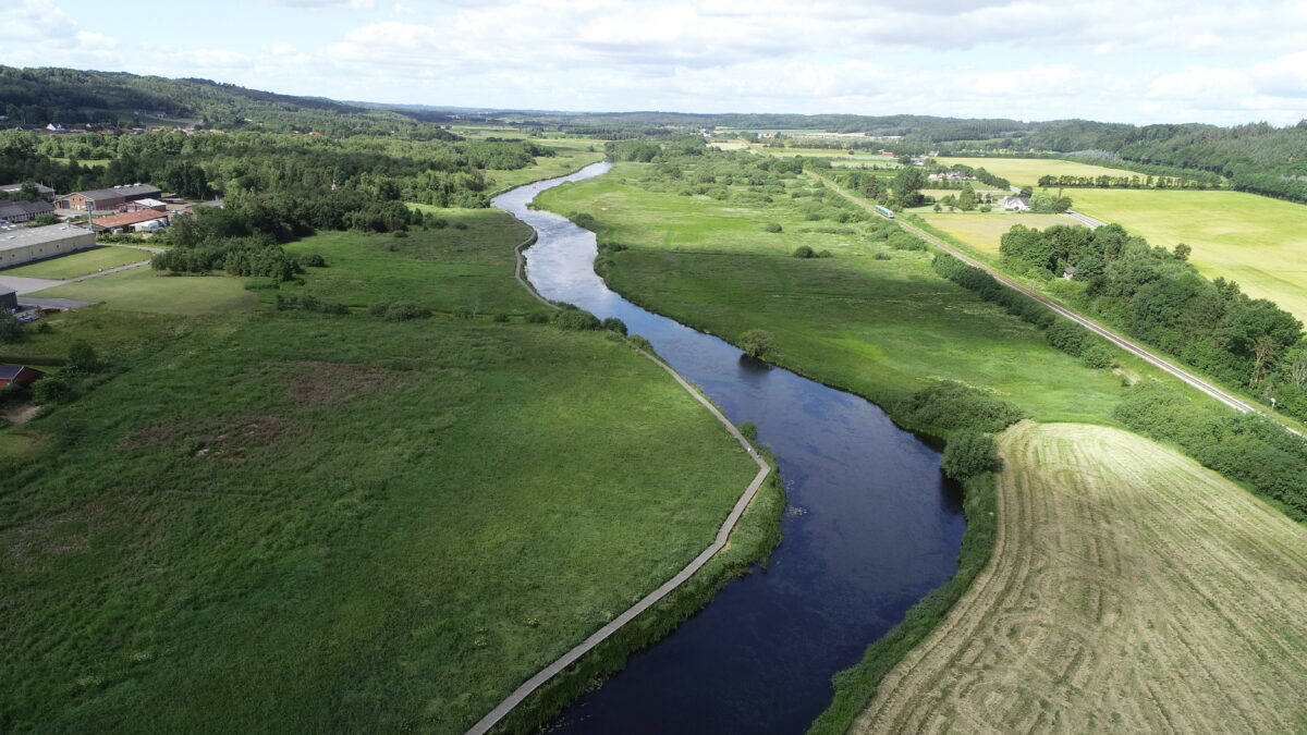
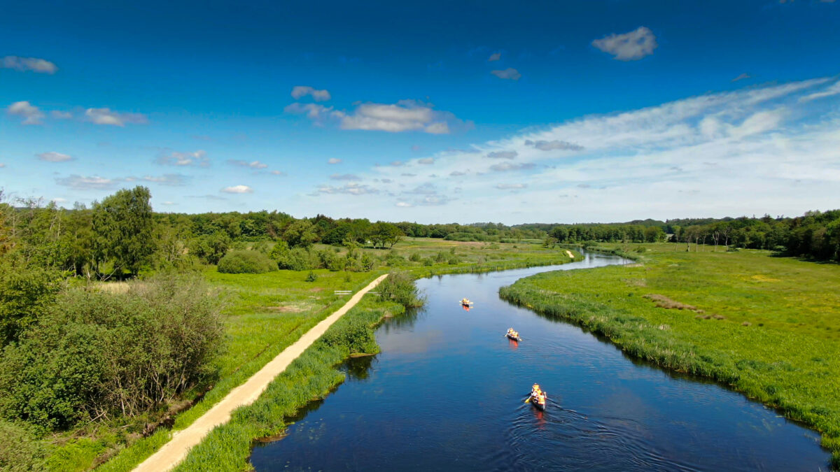
From the Energy Museum to Bjerringbro, the grass is not mowed, which is why it can get very high during the summer. Before Bjerringbro you come to Engbroen, which is part of a trail system around Bjerringbro, which is also the case on the other side of Bjerringbro towards Kjællinghøl. From Bjerringbro to Kjællinghøl, the trail was renovated with wooden bridges and stable gravel in 2018.
See the description of the entire Trækstien here and see the five sections as pdf at silkeborg.dk.